RCAF Station Tofino
| RCAF Station Tofino | |
|---|---|
| Part of Pinetree Line | |
| British Columbia, Canada | |
| Coordinates | 49°04′55″N 125°46′51″W / 49.08194°N 125.78083°W |
| Type | Radar Station |
| Site information | |
| Controlled by | Royal Canadian Air Force |
| Site history | |
| Built | 1953 |
| Built by | Royal Canadian Air Force |
| In use | 1953-1958 |

RCAF Station Tofino
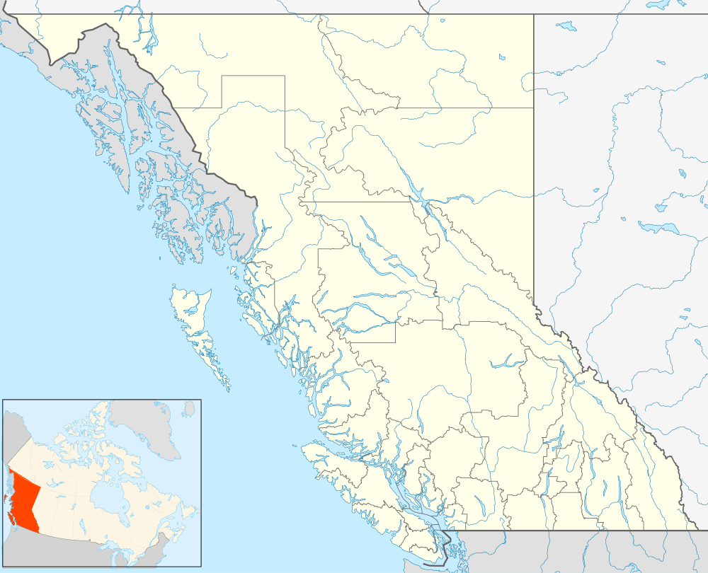
Location of RCAF Station Tofino
RCAF Station Tofino (ADC ID: C-36) is a closed General Surveillance Radar station. It is located 6 nautical miles (11 km; 6.9 mi) southeast of Tofino, British Columbia, Canada.
During World War II it was a seaplane/ land base airfield and later as a radar station during the 1950s. It was closed in 1957 and is now a publicly operated Tofino Airport. It was operated as part of the Pinetree Line network controlled by NORAD.
Squadrons
- No. 4 Squadron RCAF - anti-submarine unit under Western Air Command 1941-1945
- No. 132 Squadron RCAF - fighter unit under Western Air Command 1943-1944; disbanded at Sea Island in 1944
- No. 133 Squadron RCAF - fighter unit under Western Air Command spent time in Tofino
This article is issued from Wikipedia - version of the 1/10/2016. The text is available under the Creative Commons Attribution/Share Alike but additional terms may apply for the media files.