Rajmahal Hills
| Rajmahal Hills राजमहल हिल्स | |
|---|---|
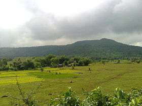 View of the Rajmahal hills | |
| Highest point | |
| Elevation | 250 m (820 ft) |
| Coordinates | 25°N 87°E / 25°N 87°ECoordinates: 25°N 87°E / 25°N 87°E |
| Geography | |
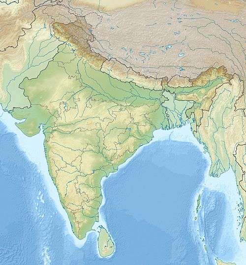 Rajmahal Hills राजमहल हिल्स Location of the Rajmahal Hills in India | |
| Country | India |
| State | Jharkhand |
| Geology | |
| Age of rock | Jurassic |
Rajmahal Hills are hills formed from rocks dating from the Jurassic Period and named after the town of Rajmahal which lies to the east in the state of Jharkhand in India. The hills are oriented in a north-south axis with an average elevation of 200–300 m (600-1,000 ft). The River Ganga meanders around the hills changing direction of flow from eastwards to southwards. Volcanic activity in the Jurassic caused the formation of these hills. The hills are approximately located at 25°N 87°E / 25°N 87°E[1]
The upper regions of the Rajmahal Hills are inhabited by the Sauria Paharia tribe while the valleys are dominated by the Santhal tribe who cultivate the land. According to the last population count of the Paharias in 1985, their numbers stood at approximately 1.85 lakh.[2]
Fossils
Rajmahal hills are home to plant fossils which are 68 to 145 million years old. The Birbal Sahni Institute of Palaeobotany in Lucknow has an impressive collection of these fossils. The fossils here have attracted geologists and palaeobotanists from all over the world. There are fears of these fossils disappearing now as the state government of Jharkhand has given out a mining lease in the area to private companies.[3]
References
- ↑ Khan, Mujibur Rahman (2012). "Rajmahal Hills". In Islam, Sirajul; Jamal, Ahmed A. Banglapedia: National Encyclopedia of Bangladesh (Second ed.). Asiatic Society of Bangladesh.
- ↑ http://www.telegraphindia.com/1120213/jsp/jharkhand/story_15127318.jsp#.T8CYVrAS1vA
- ↑ Rare fossils in India threatened
Tomb and Distant View of Rajmahal Hills