Ras Shokeir New Airport
| Ras Shokeir New Airport Ras Shukhayr New | |||||||||||
|---|---|---|---|---|---|---|---|---|---|---|---|
| IATA: none – ICAO: none | |||||||||||
| Summary | |||||||||||
| Airport type | Public | ||||||||||
| Serves | Ras Shokeir | ||||||||||
| Elevation AMSL | 15 ft / 5 m | ||||||||||
| Coordinates | 28°11′50″N 33°12′30″E / 28.19722°N 33.20833°ECoordinates: 28°11′50″N 33°12′30″E / 28.19722°N 33.20833°E | ||||||||||
| Map | |||||||||||
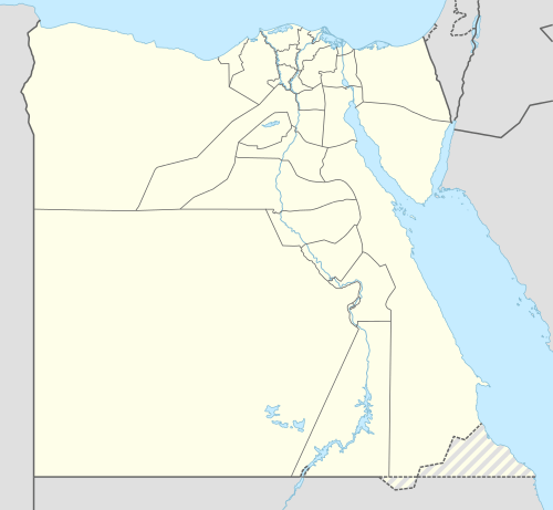 Ras Shokeir Location of the airport in Egypt | |||||||||||
| Runways | |||||||||||
| |||||||||||
|
Source: Google Maps[1] | |||||||||||
Ras Shokeir Airport is an airport serving the Suez Gulf town of Ras Shokeir, Egypt. The runway is along the coast 9 kilometres (5.6 mi) northwest of the town.
See also
References
- Google Earth
External links
This article is issued from Wikipedia - version of the 12/5/2016. The text is available under the Creative Commons Attribution/Share Alike but additional terms may apply for the media files.