Rigolet
| Rigolet Kikiaq | |
|---|---|
| Town | |
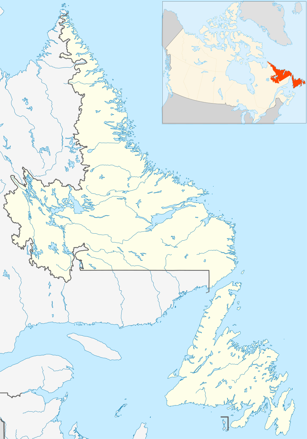 Rigolet Location of Rigolet in Newfoundland | |
| Coordinates: 54°10′47″N 58°25′44″W / 54.17972°N 58.42889°W | |
| Country |
|
| Province |
|
| Region | Nunatsiavut |
| Settled | 1735 |
| Incorporated | 1977 |
| Government | |
| • Mayor (AngajukKâk) | Jack Shiwak |
| • Federal MP | Yvonne Jones (L) |
| • Provincial MHA | Randy Edmunds (L) |
| • Nunatsiavut Assembly members | Darryl Shiwak (I) |
| Population | |
| • Total | 310 |
| Time zone | Atlantic Time (UTC-4) |
| • Summer (DST) | Atlantic Daylight (UTC-3) |
| Area code(s) | 709 |
Rigolet (Inuit: Kikiaq)[1] (population 310) is a remote, coastal Labrador Inuit community established in 1735 by French-Canadian trader Louis Fornel. Located on Hamilton Inlet, which is at the entrance to fresh water Lake Melville; Rigolet is on salt water and is accessible to navigation during the winter. Although there is no road access, the community is accessible by snowmobile trail, Rigolet Airport, or seasonally via a coastal ferry from Happy Valley-Goose Bay.
Although there are still coniferous trees surrounding the village, a few kilometers northeast into Hamilton Inlet, the terrain changes drastically to a sub-arctic tundra. Minke and Humpback whales are commonly observed in nearby waters. Rigolet is part of the Labrador Inuit Land Claims area and is overseen by the Nunatsiavut government. Approximately 5% of Rigolet's population is non Inuit. The town is the southernmost officially recognized Inuit community.[2]
It appears as the town of Rigo in John Wyndham's novel The Chrysalids.
See also
References
- ↑ Issenman, Betty. Sinews of Survival: The living legacy of Inuit clothing. UBC Press, 1997. pp. 252-254
- ↑ "Welcome to Rigolet". rigolet.ca. Retrieved 2010-06-04.
External links
- Nunatsiavut Government homepage
- Official site of the Town of Rigolet
- Information on area ferry services
- RCMP information for Rigolet
- Labrador road, trail and ferry map
Coordinates: 54°10′N 58°26′W / 54.167°N 58.433°W