River Dikler
| Dikler | |
| River | |
 River Dikler at Hyde Mill | |
| Country | England |
|---|---|
| County | Gloucestershire |
| Part of | River Thames |
| Tributaries | |
| - right | River Eye |
| Source | Donnington |
| - elevation | 160 m (525 ft) |
| - coordinates | 51°56′59″N 1°45′33″W / 51.9496°N 1.7592°W |
| Mouth | River Windrush near Bourton-on-the-Water |
| - elevation | 123 m (404 ft) |
| - coordinates | 51°51′59″N 1°44′28″W / 51.8664°N 1.7412°WCoordinates: 51°51′59″N 1°44′28″W / 51.8664°N 1.7412°W |
| Length | 12.3 km (8 mi) |
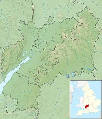 Location within Gloucestershire | |
The River Dikler is a short river in the Cotswold District of Gloucestershire which flows for 12 kilometres (7.5 mi) through Upper Swell and to the west of Stow on the Wold. It flows into the River Windrush, a tributary of the River Thames, just to the east of Bourton-on-the-Water.[1][2]
See also
References
- ↑ "Dikler (Source to Wyck Rissington)". Catchment Data Explorer. Environment Agency. Retrieved 29 November 2016.
- ↑ "Dikler (Wyck Rissington to Windrush) and Lower Eye". Catchment Data Explorer. Environment Agency. Retrieved 29 November 2016.
External links
![]() Media related to River Dikler at Wikimedia Commons
Media related to River Dikler at Wikimedia Commons
This article is issued from Wikipedia - version of the 11/29/2016. The text is available under the Creative Commons Attribution/Share Alike but additional terms may apply for the media files.