Roßkopf (Kitzbühel Alps)
| Roßkopf | |
|---|---|
| Highest point | |
| Elevation | 1,731 m (AA) (5,679 ft) |
| Coordinates | 47°25′31″N 12°04′10″E / 47.42528°N 12.06944°ECoordinates: 47°25′31″N 12°04′10″E / 47.42528°N 12.06944°E |
| Geography | |
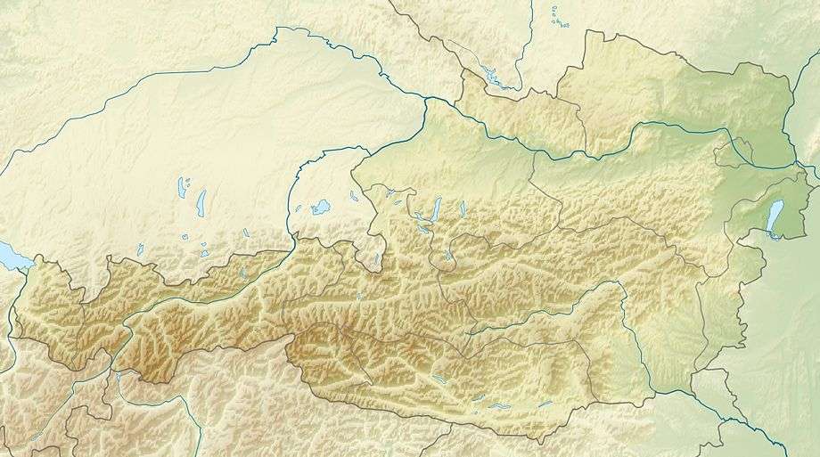
| Location | Tyrol, Austria |
| Parent range | Kitzbühel Alps |
The Roßkopf is a mountain in the Austrian state of Tyrol in the Kitzbühel Alps. It is 1,731 metres (5,679 ft) high[1] and lies about 7 kilometres due south of Wörgl. To the northeast an arête descends to the Marchbachjoch or Markbachjoch (1,496 m); another ridge runs northeast to the Kirchköpfl (1,487 m) and a third to the Turmkogel (1,648 m) to the south. The summit of the Roßkopf is the highest in the local area. It is marked by a large summit cross.[2]
The summit may be climbed on a number of routes, most of which are designated as "easy",[1][3] and is also a destination for snowshoe tours.[4]
Access
- By bus from Wörgl to Wildschönau.[3]
Ascents
- From Niederau in der Wildschönau:
- On foot via the Marchbachjoch (1,496 m) and the Halsgatterl (1,562 m), easy, duration: 3 hrs, 50 min.[1]
- Via gondola lift to the Marchbachjoch; footpath over the Halsgatterl to the summit, easy, duration: 2 hours.[1]
- On foot via the Anton Graf Hut and Kircherköpfl, easy, duration: 3 hours.[1]
- From Wildschönau Oberau:
References
- 1 2 3 4 5 Brandl, Sepp (2010). Kitzbüheler Alpen, Rother Wanderführer, Bergverlag Rother, Munich, p. 57. ISBN 978-3-7633-4134-4
- ↑ AMAP-Austria at the BEV site. Accessed on 20 Jan 2011.
- 1 2 3 ROßKOPF (1731 M) at www.planetoutdoor.de. Accessed on 21 Jan 2011.
- ↑ Roßkopf (1731m) at www.hikr.org. Accessed on 21 Jan 2011.
- 1 2 Auf den Roßkopf 1.731 m at www.wandern.com. Accessed on 21 Jan 2011.
This article is issued from Wikipedia - version of the 12/6/2015. The text is available under the Creative Commons Attribution/Share Alike but additional terms may apply for the media files.