Roboré Airport
| Robore Airport Aeropuerto Robore | |||||||||||
|---|---|---|---|---|---|---|---|---|---|---|---|
| IATA: RBO – ICAO: SLRB | |||||||||||
| Summary | |||||||||||
| Airport type | joint public/military | ||||||||||
| Serves | Robore | ||||||||||
| Location |
| ||||||||||
| Elevation AMSL | 932 ft / 284 m | ||||||||||
| Coordinates | 18°19′39.3″S 059°45′56.3″W / 18.327583°S 59.765639°WCoordinates: 18°19′39.3″S 059°45′56.3″W / 18.327583°S 59.765639°W | ||||||||||
| Map | |||||||||||
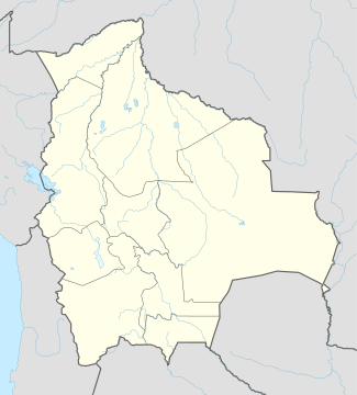 SLRB Location of Robore Airport in Bolivia | |||||||||||
| Runways | |||||||||||
| |||||||||||
Robore Airport (Spanish: Aeropuerto Robore, IATA: RBO, ICAO: SLRB) is a joint public/military airport located near Robore, Santa Cruz, Bolivia.
See also
References
- ↑ Airport record for Robore Airport at Landings.com. Retrieved 2013-09-02
- ↑ Google (2013-09-02). "location of Robore Airport" (Map). Google Maps. Google. Retrieved 2013-09-02.
External links
- Airport record for Robore Airport at Landings.com
- Current weather for SLRB at NOAA/NWS
This article is issued from Wikipedia - version of the 11/10/2016. The text is available under the Creative Commons Attribution/Share Alike but additional terms may apply for the media files.