Roca Redonda
| Roca Redonda | |
|---|---|
 Roca Redonda | |
| Highest point | |
| Elevation | 67 m (220 ft) |
| Prominence | 67 m (220 ft) |
| Coordinates | 0°16′N 91°38′W / 0.27°N 91.63°WCoordinates: 0°16′N 91°38′W / 0.27°N 91.63°W |
| Geography | |
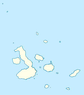
| Location | Galápagos Islands, Ecuador |
| Geology | |
| Mountain type | Shield volcano |
| Last eruption | Unknown |
Roca Redonda is a flat-topped, steep-sided islet located roughly 25 km (16 mi) northwest of the island of Isabela, in the Galápagos Islands of Ecuador. It measures 100 m (330 ft) long and 50 m (160 ft) wide with a maximum elevation of 67 m (220 ft).[1] Its isolation and inaccessibility coupled with its rocky cliffs riddled with crevices and crossed by ledges has made Roca Redonda a haven for nesting seabirds.[2]
This small volcanic island is the remains of a large shield volcano that has vastly eroded away below sea level. Potassium–argon dating of Roca Redonda indicates that the islet is at least 53,000 +/- 54,000 years old. However, it remains unknown when the last eruption occurred from the shield volcano. Several shallow submarine fumaroles are known to exist around the island and indicate that the volcano is probably still active.[1]
See also
References
- 1 2 "Roca Redonda". Global Volcanism Program. Smithsonian Institution. Retrieved 2016-09-16.
- ↑ Hess, John (2009). The Galápagos: Exploring Darwin's Tapestry. University of Missouri Press. p. 42. ISBN 978-0-8262-1837-7.