Rogers Airfield
| Rogers Airfield 30-Mile Drome .svg.png) | |
|---|---|
| Part of Fifth Air Force | |
|
Located near Port Moresby, Papua New Guinea 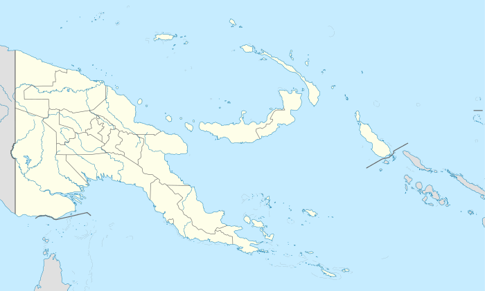 Rogers Airfield Rogers Airfield (Papua New Guinea) | |
| Coordinates | 09°02′37.12″S 146°53′40.32″E / 9.0436444°S 146.8945333°E |
| Type | Military airfield |
| Site information | |
| Controlled by | United States Army Air Forces |
| Site history | |
| Built | 1942 |
| In use | 1942 |
Rogers Airfield (also known as 30-Mile Drome) is a former World War II airfield near Redscar Bay, Papua New Guinea. It was part of a multiple-airfield complex in the Port Moresby area, located 30 miles (48 km) north-west of Port Moresby by air, near Rorona (also spelled Rarona).
On November 15, 1942, the airfield was named in honor of Major Floyd "Buck" W. Rogers (C.O. of 3rd BG, 8th BS) who was KIA flying A-24 41-15797.
History
Rogers Airfield was built by American forces in mid-1942, and in use by the first week of June. The airfield served as both a crash strip and also based aircraft for short periods in the early stages of the war. Known units based at Rogers were:
- Headquarters, 35th Fighter Group (July 22, 1942 – August 15, 1943)
- 39th Fighter Squadron, P-39 Airacobra
- 40th Fighter Squadron, P-39 Airacobra
- 41st Fighter Squadron, P-39 Airacobra
After the war Rogers Field was used as a small commercial airport by Air Niugini. Its commercial use ended in the 1960s and today the airfield is unused.
See also
- USAAF in the Southwest Pacific
- Port Moresby Airfield Complex
References
![]() This article incorporates public domain material from the Air Force Historical Research Agency website http://www.afhra.af.mil/.
This article incorporates public domain material from the Air Force Historical Research Agency website http://www.afhra.af.mil/.
- Maurer, Maurer (1983). Air Force Combat Units Of World War II. Maxwell AFB, Alabama: Office of Air Force History. ISBN 0-89201-092-4.
- www.pacificwrecks.com
External links
Previously: Philippine Department Air Force (1941); Far East Air Force (1941-1942) | |||||||||||||||||||||||||||||||||||||||||||||||||||
| Airfields |
| | |||||||||||||||||||||||||||||||||||||||||||||||||
| Units |
| ||||||||||||||||||||||||||||||||||||||||||||||||||