Roseisle
| Roseisle | |
|---|---|
 Roseisle Location of Roseisle in Manitoba | |
| Coordinates: 49°30′0″N 98°20′39″W / 49.50000°N 98.34417°WCoordinates: 49°30′0″N 98°20′39″W / 49.50000°N 98.34417°W | |
| Country |
|
| Province |
|
| Region | Pembina Valley |
| Census Division | No. 3 |
| Government | |
| • Governing Body | Rural Municipality of Dufferin Council |
| • MP | Candice Bergen |
| • MLA | Blaine Pedersen |
| Time zone | CST (UTC−6) |
| • Summer (DST) | CDT (UTC−5) |
| Postal Code | R0G 1V0 |
| Area code(s) | 204, 431 |
| NTS Map | 062G08 |
| GNBC Code | GAXMO |
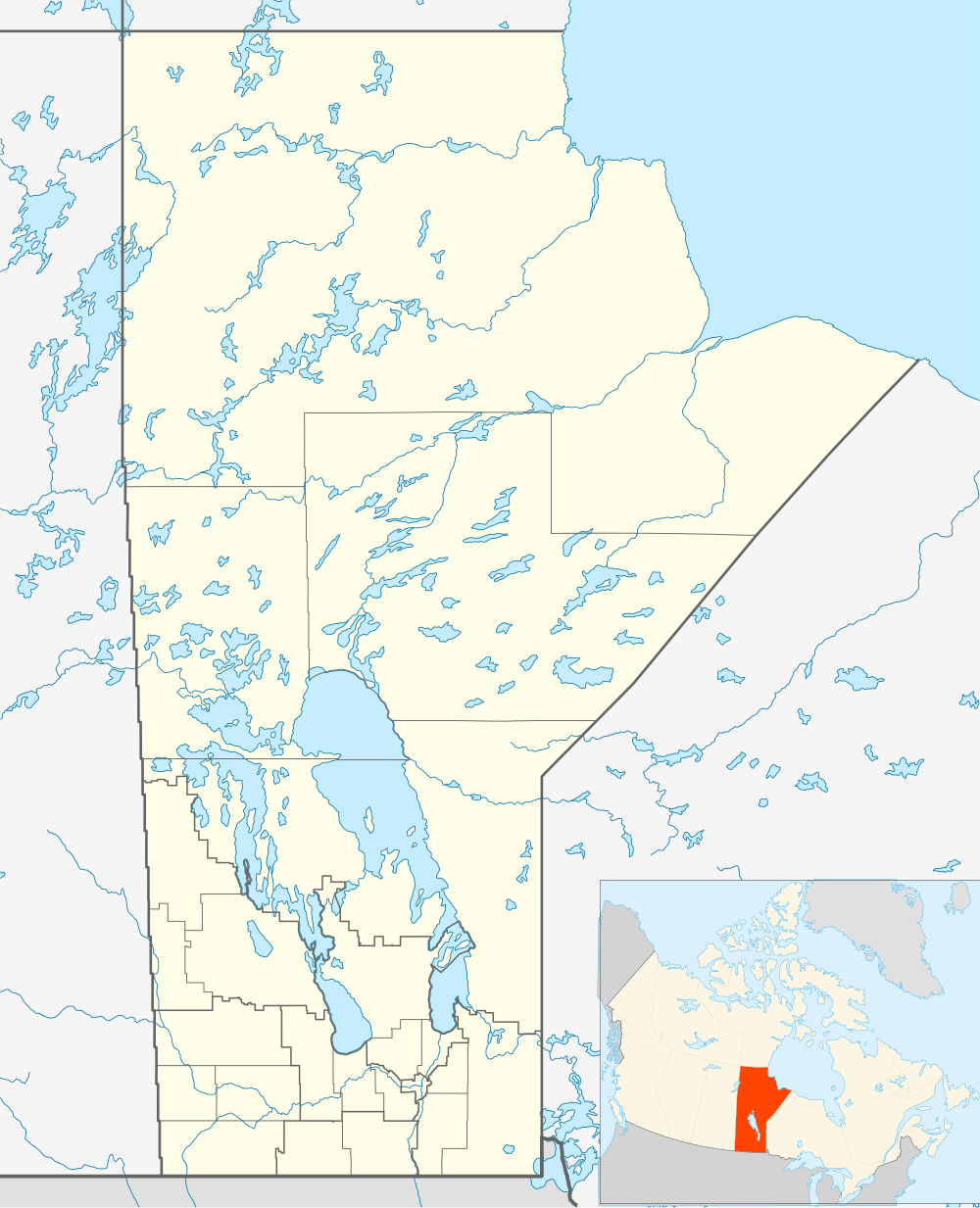
Roseisle is an unincorporated community in south central Manitoba, Canada. It is located approximately 96 kilometres (60 miles) southwest of Winnipeg. The town contains a Co-op with a gas bar. Each year, Roseisle hosts thousands of people for its annual Canada Day celebrations which include tractor pulls, lawn mower races and a fireworks show. In the end of June 2015, the town was hit by a very large storm which had softball sized hail. It is also thought that a small tornado touched down. Due to the weather, many had damages so had to make insurance claims. The small town also has several churches and used to have a school but it shut down in the early '90s or late '80s[1] in the Rural Municipality of Dufferin.
References
- ↑ "Geographical Names of Canada - Querying Distances". rncan.gc.ca. Retrieved 2013-08-22.
| Cities | 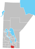 | |
|---|---|---|
| Towns | ||
| Rural municipalities | ||
| Unincorporated communities | ||