Rote Säule (Tauern)
| Rote Säule | |
|---|---|
|
The Rote Säule seen from the Wildenkogel | |
| Highest point | |
| Elevation | 2,993 m (AA) (9,820 ft) |
| Prominence | 303 m ↓ Rotebenscharte |
| Isolation | 3.4 km → Kratzenberg |
| Coordinates | 47°08′47″N 12°26′38″E / 47.146389°N 12.443889°ECoordinates: 47°08′47″N 12°26′38″E / 47.146389°N 12.443889°E |
| Geography | |
| State/Province | AT-5/AT-7 |
| Parent range | Venediger Group |
| Climbing | |
| First ascent | 1865 by Franz Keil (tourist and cartographer) |
| Normal route | West ascent (I) |
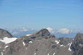
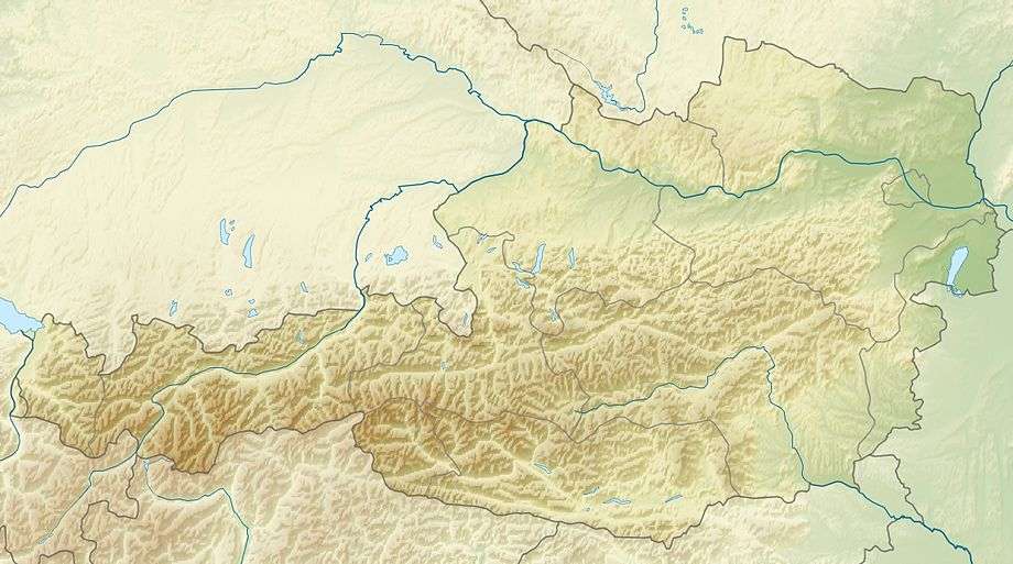
The Rote Säule (also Rote Saile[1]) is a mountain, 2,993 m (AA),[2] on the main chain of the Alps in the Venediger Group. It lies on the border between the Austrian states of Salzburg and East Tyrol.
Location and ascent
The Rote Säule is a peak in the extreme north of the district of Lienz. It is located on the main chain of the Tauern between the Roter Kogel (2,946 m (AA)) to the southeast and the Abretter (2,979 m (AA)) to the northwest, the Rote Säule being separated from the Abretter by the col of Abretterscharte (2,856 m (AA)). The Rote Säule has a wide north and east face. To the south are the remains of a glacier, the Gschlößkees. The Rote Säule may be climbed from the Venedigerhaus, the route branching off from the Sandebentörl path towards the northwest.
References
- ↑ Alpine Club map 1:25,000, Sheet 36, Venedigergruppe.
- ↑ Bundesamt für Eich- und Vermessungswesen Österreich: Austrian Map online (Österreichische Karte 1:50,000).
Literature
- Willi End, Hubert Peterka: Alpine Club guide Venedigergruppe. Bergverlag Rother, 5th edition, Munich, 2006, ISBN 3-7633-1242-0.
- Alpine Club map 1:25,000, Sheet 36, Venedigergruppe, ISBN 3-928777-49-1.
External links
| Wikimedia Commons has media related to Rote Säule. |