Royal Oak station (TransLink)
| SkyTrain station | |||||||||||||||
 | |||||||||||||||
| Location | 5199 Beresford Street, Burnaby | ||||||||||||||
| Coordinates | 49°13′12″N 122°59′18″W / 49.220004°N 122.988381°WCoordinates: 49°13′12″N 122°59′18″W / 49.220004°N 122.988381°W | ||||||||||||||
| Owned by | BC Transit, TransLink | ||||||||||||||
| Platforms | Centre platform | ||||||||||||||
| Tracks | 2 | ||||||||||||||
| Construction | |||||||||||||||
| Structure type | Elevated | ||||||||||||||
| Disabled access | Yes | ||||||||||||||
| Other information | |||||||||||||||
| Station code | RO | ||||||||||||||
| Fare zone | 2 | ||||||||||||||
| History | |||||||||||||||
| Opened | December 11, 1985 | ||||||||||||||
| Traffic | |||||||||||||||
| Passengers (2011[1]) | 9,878 | ||||||||||||||
| Services | |||||||||||||||
| |||||||||||||||
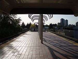
Royal Oak station is located on an elevated portion of the Expo Line, a part of Metro Vancouver's SkyTrain rapid transit system. The station is situated above Royal Oak Avenue at Beresford Street in southern Burnaby, a short walk south of Kingsway and Imperial Avenue. It was built in 1985 as part of the original Expo Line. This station is served by the community shuttle C5 Edmonds Station.[2]

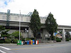
Royal Oak is an elevated station with an entrance shown here from Beresford Street at ground level
References
- ↑ "2011 SkyTrain Station Counts". TransLink. Retrieved August 10, 2016.
- ↑ TransLink (December 2009). Royal Oak Station (PDF) (Map). Retrieved 19 November 2016.
This article is issued from Wikipedia - version of the 11/19/2016. The text is available under the Creative Commons Attribution/Share Alike but additional terms may apply for the media files.