Rudolfův kámen
| Rudolfův kámen | |
|---|---|
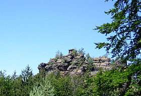 View of the Rudolfstein | |
| Highest point | |
| Elevation | 484 m (1,588 ft) |
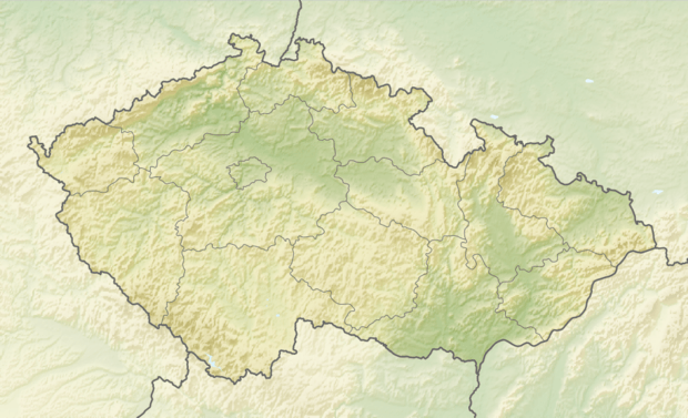
| Coordinates | 50°52′12″N 14°24′12″E / 50.87°N 14.40333°ECoordinates: 50°52′12″N 14°24′12″E / 50.87°N 14.40333°E |
| Geography | |
 Rudolfův kámen | |
| Parent range | Bohemian Switzerland |
| Geology | |
| Mountain type | Sandstone |
The Rudolfův kámen (German: Rudolfstein or Ostroh), near Jetřichovice (Dittersbach) in the Bohemian Switzerland is a hill, 484 m above sea level (HN).[1]
It was named in 1824 after Rudolf, 6th Prince Kinsky of Wchinitz and Tettau. Previously it had been called the Ostroh or Hoher Stein. A hut was built at the top. In good weather there are long views from the summit. The plateau is reached over 170 wooden and, in some cases stone, steps. The Rudolfstein was first climbed in 1824.
References
- ↑ Map services of the BfN
This article is issued from Wikipedia - version of the 12/6/2015. The text is available under the Creative Commons Attribution/Share Alike but additional terms may apply for the media files.