Rutja Airfield
| Rutja Airfield Rutja lennuväli | |||||||||||
|---|---|---|---|---|---|---|---|---|---|---|---|
| IATA: none – ICAO: none | |||||||||||
| Summary | |||||||||||
| Airport type |
| ||||||||||
| Operator |
| ||||||||||
| Location | Rutja | ||||||||||
| Elevation AMSL | 135 ft / 41 m | ||||||||||
| Coordinates | 59°32′12″N 026°18′42″E / 59.53667°N 26.31167°ECoordinates: 59°32′12″N 026°18′42″E / 59.53667°N 26.31167°E | ||||||||||
| Map | |||||||||||
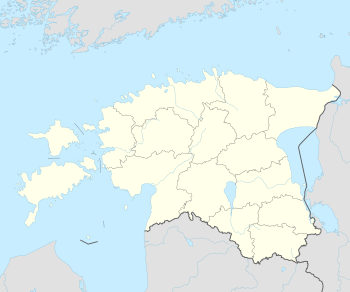 Rutja Airfield Location in Estonia | |||||||||||
| Runways | |||||||||||
| |||||||||||
|
Sources: Forgotten Airports[1] | |||||||||||
Rutja Airfield (Estonian: Rutja lennuväli) is a disused airfield in Estonia, located 13 km (8.1 mi) west of Kunda. During the Soviet era it was home to 66th Soviet Attack Air Regiment which flew up to 45 Su-17 aircraft.
References
- ↑ Rutja Airfield at Forgotten Airfields
This article is issued from Wikipedia - version of the 9/9/2016. The text is available under the Creative Commons Attribution/Share Alike but additional terms may apply for the media files.