Santrampur
| Santrampur Brahampuri સંતરામપુર, संतरामपुर | |
|---|---|
| Santrampur | |
 Santrampur  Santrampur | |
| Coordinates: 23°11′22″N 73°53′34″E / 23.1895°N 73.8928°ECoordinates: 23°11′22″N 73°53′34″E / 23.1895°N 73.8928°E | |
| Country |
|
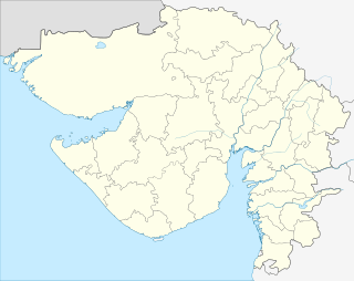
| State | Gujarat |
| District | Mahisagar |
| Ward | 7 |
| Samtrampur Nagarpalika | Established 15 April,1994 |
| Government | |
| • Body | Nagarpalika |
| • President | Shivabahi Vankar |
| • Chief Officer | H. J. Agrawal |
| Area | |
| • Total | 16.00 km2 (6.18 sq mi) |
| Elevation | 140 m (460 ft) |
| Population (2011) | |
| • Total | 19,465 |
| • Density | 1,200/km2 (3,200/sq mi) |
| Languages | |
| • Official | Gujarati, Hindi, |
| Time zone | IST (UTC+5:30) |
| PIN | 389 260 |
| Telephone code | (91) 2675 |
| Vehicle registration | GJ-17/GJ-35 |
| Literacy Rate | 84.99% |
| Legislature type | Nagar Palika (Municipality) |
| Legislature Strength | 21 |
| Lok Sabha constituency | Dahod |
| Vidhan Sabha constituency | Santrampur |
| Climate | Tropical savanna (Köppen: Aw) |
| Website |
www |
Santrampur, which used to be known as Brahampuri, is a historical town of Mahisagar District in Gujarat State of India. It serves as administrative headquarter of santrampur tehsil. The town surrounded by verdurous greenery, is situated in the lap of aravalli hill ranges. It was built in 1255 AD.
Visitor attractions
- Hava Mahel
- Mangadh Hill
- Kadana Dam
- Maa Bhuvneswari Temple
- Maa Harsiddhi Temple
- Fair Of Ravadi
- Sagdapada Village
- fair of aamli (batakvada)
Demographics
As of 2011 India census,[1] Santrampur had a population of 19,465. Population of Children with age of 0-6 is 2511 which is 12.90 % of total population of Santrampur. In Santrampur , Female Sex Ratio is of 934 against state average of 919. Literacy rate of Santrampur city is 84.99 % higher than state average of 78.03 %. In Santrampur, Male literacy is around 91.58 % while female literacy rate is 78.03 %.
Princely State of Sant
Before 1947, Santrampur was the seat of the princely state of Sant, which was merged with the Dominion of India on 10 June 1948. The state was ruled by the Hindu Parmar clan of Rajputs.[2]
Ranas
- .... - 1872 Bhawansinhji
- 17 Apr 1873 - 10 Jan 1896 Pratapsinhji Bhawansinhji
- 31 Aug 1896 - 22 Dec 1946 Zorawarsinhji Pratapsinhji (b. 1881 - d. 1946)
- 22 Dec 1946 - 15 Aug 1947 Pravinsinhji Zorawarsinhji (b. 1907 - d. ....
References
- ↑ "Census of India 2001: Data from the 2001 Census, including cities, villages and towns (Provisional)". Census Commission of India. Archived from the original on 2004-06-16. Retrieved 2008-11-01.
- ↑ Sant (Princely State)