Senyavin Islands

.jpg)
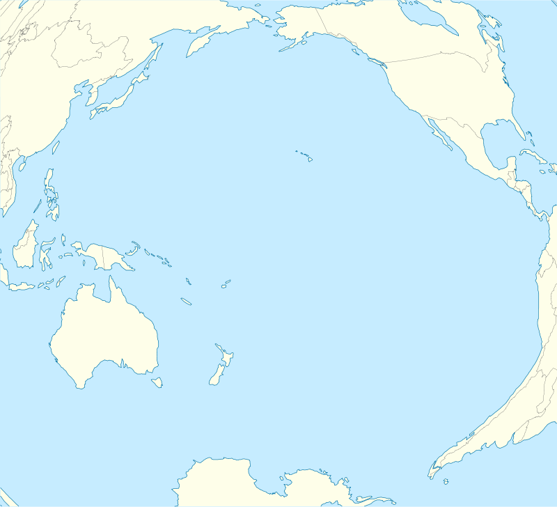
The Senyavin Islands belong to the Federated States of Micronesia. They consist of a larger volcanic Pohnpei Island (about 334 km²) and two small atolls Ant and Pakin.
History

On Pohnpei, pre-colonial history is divided into three eras: Mwehin Kawa or Mwehin Aramas (Period of Building, or Period of Peopling, before ca. 1100); Mwehin Sau Deleur (Period of the Lord of Deleur, ca. 1100[1] to ca. 1628);[note 1] and Mwehin Nahnmwarki (Period of the Nahnmwarki, ca. 1628 to ca. 1885).[2][5] Pohnpeian legend recounts that the Saudeleur rulers, the first to bring government to Pohnpei, were of foreign origin. The Saudeleur centralized form of absolute rule is characterized in Pohnpeian legend as becoming increasingly oppressive over several generations. Arbitrary and onerous demands, as well as a reputation for offending Pohnpeian deities, sowed resentment among Pohnpeians. The Saudeleur Dynasty ended with the invasion of Isokelekel, another semi-mythical foreigner, who replaced the Saudeleur rule with the more decentralized nahnmwarki system in existence today.[7][8][9]
For the Europeans these islands were discovered first by Pedro Fernández de Quirós[10] In 1828 Russian navigator Fyodor Litke named the group after Russian admiral Dmitry Senyavin.[11]
Notes
References
- ↑ Flood, Bo; Strong, Beret E.; Flood, William (2002). Micronesian Legends. Bess Press. pp. 145–7, 160. ISBN 1-57306-129-8. Retrieved 1 January 2012.
- 1 2 Hanlon, David L (1988). Upon a Stone Altar: A History of the Island of Pohnpei to 1890. Pacific Islands Monograph. 5. University of Hawaii Press. pp. 13–25. ISBN 0-8248-1124-0. Retrieved 1 January 2012.
- ↑ Cordy, Ross H (1993). The Lelu Stone Ruins (Kosrae, Micronesia): 1978–81 Historical and Archaeological Research. Asian and Pacific Archaeology. Social Science Research Institute, University of Hawaii at Manoa. pp. 14, 254, 258. ISBN 0-8248-1134-8. Retrieved 31 December 2011.
- ↑ Morgan, William N (1988). Prehistoric Architecture in Micronesia. University of Texas Press. pp. 60, 63, 76, 85. ISBN 0-292-76506-1. Retrieved 31 December 2011.
- 1 2 Panholzer, Tom; Rufino, Mauricio (2003). Place Names of Pohnpei Island: Including And (Ant) and Pakin Atolls. Bess Press. pp. xiii, xii, 101,. ISBN 1-57306-166-2. Retrieved 31 December 2011.
- ↑ Micronesica. University of Guam. 1990. pp. 92, 203, 277. Retrieved 31 December 2011.
- ↑ Riesenberg, Saul H (1968). The Native Polity of Ponape. Contributions to Anthropology. 10. Smithsonian Institution Press. pp. 38, 51. Retrieved 1 January 2012.
- ↑ Ballinger, Bill Sanborn (1978). Lost City of Stone: The Story of Nan Madol, the "Atlantis" of the Pacific. Simon and Schuster. pp. 45–8. ISBN 0-671-24030-7. Retrieved 31 December 2011.
- ↑ Petersen, Glenn (1990). "Lost in the Weeds: Theme and Variation in Pohnpei Political Mythology" (PDF). Occasional Papers. Center for Pacific Islands Studies, School of Hawaiian, Asian & Pacific Studies, University of Hawaiʻi at Mānoa. 35: 34 et seq. Retrieved 31 December 2011.
|chapter=ignored (help) - ↑ History - Quirós
- ↑ History - Litke
Coordinates: 6°50′N 158°08′E / 6.833°N 158.133°E