Sevenmile Mountains
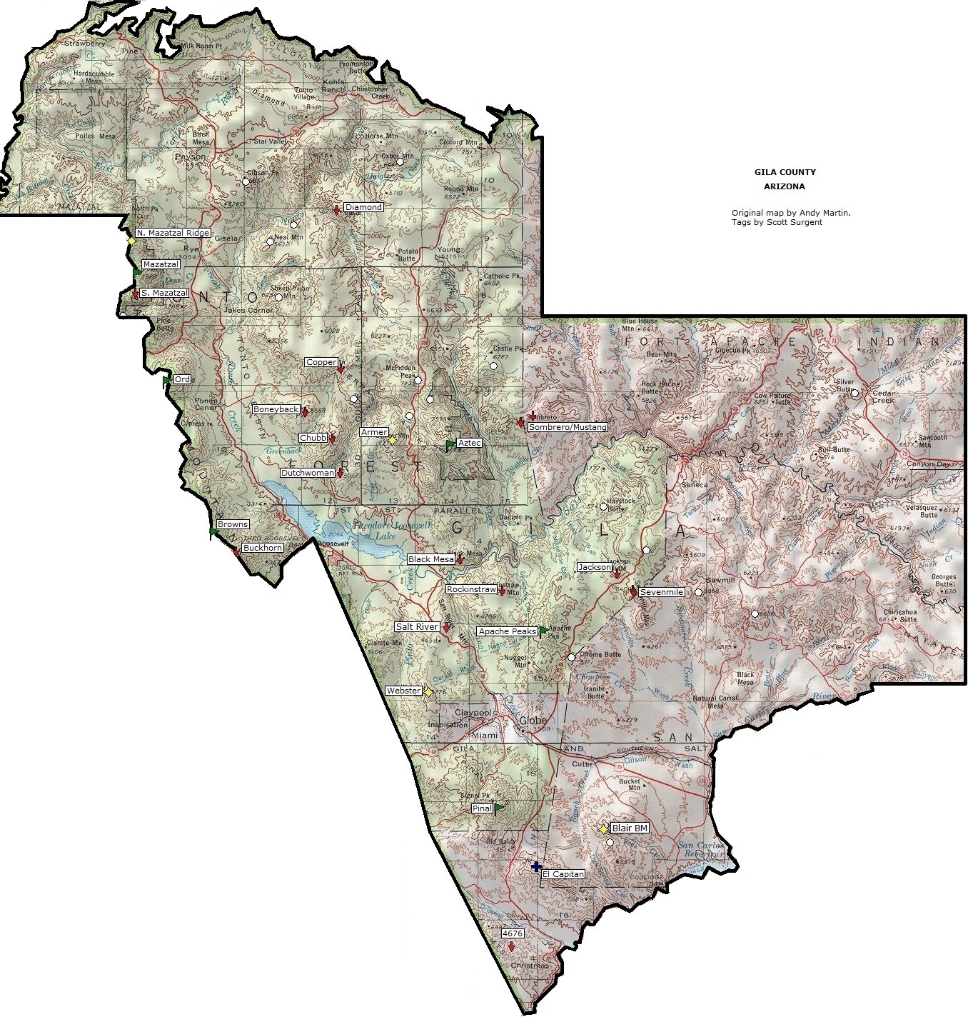
The Sevenmile Mountains are a mountain range in central Gila County in the U.S. state of Arizona.[1] The range has a maximum elevation of 6,629 ft (2,021 m) and a prominence of 989 ft (301 m). [2] [1] The unnamed peak has a topographic isolation of 13.35 miles.[2] The majority of the southern end of the range is located on the San Carlos Apache Indian Reservation.[3] While the high point and the northern tip of the range is in the Tonto National Forest and is open to free range hiking (hiking without any trails).[3][4] The mountains' high point is located just 3 miles east from a section of the U.S. Route 60 in Arizona in between Globe, Arizona and Show Low, Arizona.[3] The southern end of the range (which encompasses most of the entire range) that is inside the San Carlos Apache Indian Reservation should only be hiked with permission from the Reservation.[5] The range is one of many that occur in the Arizona transition zone.
Location

The mountains' high point is at 33°36′06″N 110°35′09″W / 33.6017°N 110.5859°W. The nearest town/city is Globe, Arizona, approximately 17 miles to the south on U.S. Route 60.[6]
References
- 1 2 "Sevenmile mounatins, Gila county Arizona". peakbagger.com. Retrieved 2016-09-02.
- 1 2 "Carol Spring Mountain, Sevenmile mountains HP". peakbagger.com. Retrieved 2016-09-02.
- 1 2 3 "Google Maps large Sevenmile Mountains". listsofjohn.com. Retrieved 2016-08-27.
- ↑ "Sevenmile mountains AZ". hikearizona.com. Retrieved 2016-08-27.
- ↑ "Gila County AZ Peaks map". surgent.net. Retrieved 2016-08-27.
- ↑ "Google Maps Sevenmile Mountains AZ". Google Maps. Retrieved 2016-08-27.
Coordinates: 33°34′15″N 110°34′25″W / 33.57083°N 110.57361°W