Srijung
| Srijung श्रीजुङ | |
|---|---|
| Village development committee | |
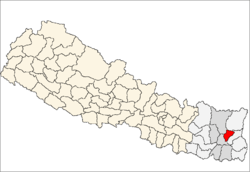
 Srijung Location in Nepal | |
| Coordinates: 27°16′N 87°31′E / 27.26°N 87.51°ECoordinates: 27°16′N 87°31′E / 27.26°N 87.51°E | |
| Country |
|
| Zone | Kosi Zone |
| District | Terhathum District |
| Population (1991) | |
| • Total | 2,785 |
| Time zone | Nepal Time (UTC+5:45) |
Srijung is a village development committee in the Himalayas of Terhathum District in the Kosi Zone of eastern Nepal. At the time of the 1991 Nepal census it had a population of 2785 people living in 487 individual households.[1]
References
- ↑ "Nepal Census 2001". Nepal's Village Development Committees. Digital Himalaya. Retrieved 19 November 2008.
ancestry place of Lungfungwa (Limbu)
External links
Headquarter: Myanglung | ||
 | ||
This article is issued from Wikipedia - version of the 2/16/2016. The text is available under the Creative Commons Attribution/Share Alike but additional terms may apply for the media files.