Sierra de Alhama
| Sierra de Alhama | |
|---|---|
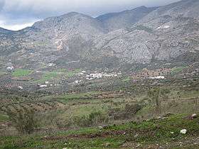 View of the Sierra de Alhama | |
| Highest point | |
| Peak | Pico de la Torca |
| Elevation | 1,500 m (4,900 ft) |
| Coordinates | 36°57′0″N 04°07′0″W / 36.95000°N 4.11667°WCoordinates: 36°57′0″N 04°07′0″W / 36.95000°N 4.11667°W |
| Geography | |
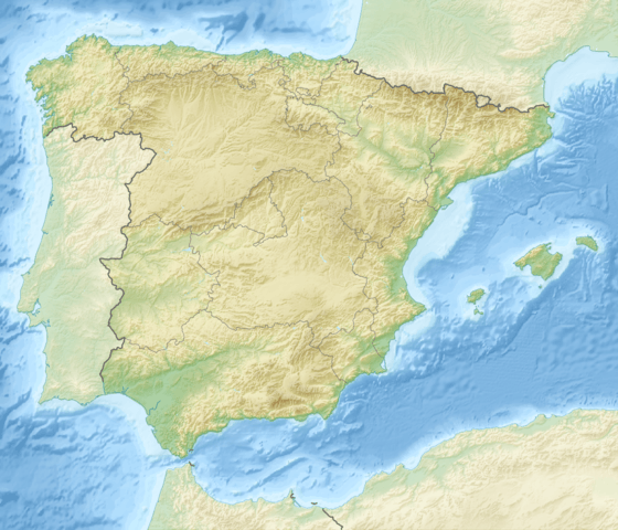 Sierra de Alhama Location in Spain | |
| Location | Málaga and Granada provinces, Andalusia |
| Country | Spain |
| Parent range | Penibaetic System |
| Geology | |
| Orogeny | Alpine orogeny |
| Type of rock | Karstic |
Sierra de Alhama is a mountain range of the Penibaetic System in Málaga and Granada provinces, Andalusia, Spain. Its highest point is the 1,500 m high Pico de la Torca. Other notable summits are Hoyo del Toro, 1,353 m, Cerro de Marchamonas, 1,272 m and Morrón de la Cuna 1,222 m. [1]
Geography
This karstic mountain range is part of the ranges in the interior area of Axarquia. It stretches between the Sierra del Jobo and the 1,040 m high Puerto de los Alazores mountain pass in the west and the Sierra de Tejeda in the east with the corridor of Periana between them. The Guadalhorce river has its sources in this range. The Sierra de Alhama also includes the Boquete de Zafarraya an important pass at 992 m in the mountainous region of Axarquía.[2]
The area of the Sierra de Alhama is a protected area as the Sierra de Tejeda, Almijara and Alhama Natural Park.[3]
See also
References
External links
 Media related to Sierra de Alhama at Wikimedia Commons
- Hiking in Sierra de Alhama