Simon Mwansa Kapwepwe International Airport
| Simon Mwansa Kapwepwe International Airport | |||||||||||||||
|---|---|---|---|---|---|---|---|---|---|---|---|---|---|---|---|
 Artistic impression of the new airport | |||||||||||||||
| IATA: NLA – ICAO: FLSK | |||||||||||||||
| Summary | |||||||||||||||
| Airport type | Public, civilian | ||||||||||||||
| Owner | Nation city capital at Zambia | ||||||||||||||
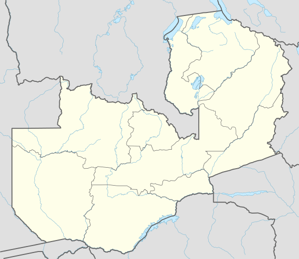
| Location | Ndola, Zambia | ||||||||||||||
| Elevation AMSL | 4,170 ft / 1,270 m | ||||||||||||||
| Coordinates | 12°59′50″S 28°39′50″E / 12.99722°S 28.66389°E | ||||||||||||||
| Map | |||||||||||||||
 NLA Location of Ndola Airport in Zambia | |||||||||||||||
| Runways | |||||||||||||||
| |||||||||||||||
Simon Mwansa Kapwepwe International Airport (IATA: NLA, ICAO: FLSK) is an airport located in Copperbelt Province in northern Zambia, in the city of Ndola, near the international border with the Democratic Republic of the Congo. It was officially known as Ndola Airport before being renamed in 2011 in honour of Simon Kapwepwe, the nation's former vice president.
It lies approximately 272 kilometres (169 mi), by air, north of Lusaka International Airport, the largest airport in Zambia.[1]
It is situated 1,270 metres (4,170 ft) above sea level.[2] It has two parallel concrete runways, one measuring 1,219.2 metres (4,000 ft) and the other measuring 2,514.6 metres (8,250 ft) in length.[3]
Overview
Ndola Airport is an airport that serves the city of Ndola and surrounding cities on the copperbelt. It handles domestic and international flights for both passengers and cargo.
Airlines and destinations
The following airlines have scheduled passenger service at Ndola International airport:
See also
References
External links
- Accident history for NLA at Aviation Safety Network
- Airport information for FLND at Great Circle Mapper.
- Current weather for FLSK at NOAA/NWS
- Airport information for FLND at World Aero Data. Data current as of October 2006.
- Video on YouTube