Singhi Kangri
| Singhi Kangri | |
|---|---|
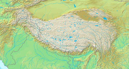 Singhi Kangri Location on a map of the Tibetan Plateau | |
| Highest point | |
| Elevation |
7,202 m (23,629 ft) [1] Ranked 108th |
| Prominence | 790 m (2,590 ft) |
| Parent peak | Teram Kangri III |
| Coordinates | 35°35′59″N 76°59′01″E / 35.59972°N 76.98361°ECoordinates: 35°35′59″N 76°59′01″E / 35.59972°N 76.98361°E |
| Geography | |
| Location | China border with the Siachen Glacier region (controlled by India, claimed by Pakistan)[2] |
| Parent range | Karakoram |
| Climbing | |
| First ascent | 1976 by a Japanese team |
| Easiest route | snow/ice climb |
Singhi Kangri is a 7,202 m (23,629 ft) peak in the Karakoram range.[1] It is located on the border between China and the Siachen Glacier region (controlled by India, claimed by Pakistan.) The mountain was first climbed in 1976 by a Japanese expedition.[1]
See also
References
- 1 2 3 "India 2006" (PDF). AlpineJournal.org.UK. Retrieved 2014-09-28. Note: Sources vary. This peak's elevation is frequently quoted at 7207m and also as low as 7172m.
- ↑ "Singhi Kangri". Peakbagger.com. Retrieved 2015-02-17.
External links
This article is issued from Wikipedia - version of the 9/28/2015. The text is available under the Creative Commons Attribution/Share Alike but additional terms may apply for the media files.