Solleks River
| Solleks River | |
| River | |
| Country | United States |
|---|---|
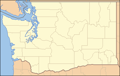
| State | Washington |
| Region | Olympic Peninsula |
| County | Jefferson |
| Source | Olympic Mountains |
| - elevation | 2,710 ft (826 m) [1] |
| - coordinates | 47°42′50″N 123°54′31″W / 47.71389°N 123.90861°W [2] |
| Mouth | Clearwater River |
| - elevation | 390 ft (119 m) [3] |
| - coordinates | 47°41′23″N 124°6′24″W / 47.68972°N 124.10667°WCoordinates: 47°41′23″N 124°6′24″W / 47.68972°N 124.10667°W [2] |
| Length | 10.7 mi (17.2 km) [4] |
| Basin | 15.9 sq mi (41.2 km2) [5] |
 Mouth of the Solleks River in Washington | |
The Solleks River is a river in the U.S. state of Washington. It is a tributary of the Clearwater River, which in turn flows into the Queets River.
The Solleks River is 10.7 miles (17.2 km) long.[4] Its drainage basin is 15.9 square miles (41 km2) in area.[5]
Course
The Solleks River originates in the Olympic Mountains on the Olympic Peninsula, about 5 miles (8.0 km) northeast of the mountain known as Kloochman Rock. It flows west to join the Clearwater River near Upper Clearwater Campground.[6]
See also
References
- ↑ Google Earth elevation for GNIS source coordinates. Retrieved 2010 December 15.
- 1 2 "Solleks River". Geographic Names Information System. United States Geological Survey. Retrieved 2010-12-15.
- ↑ Google Earth elevation for GNIS mouth coordinates. Retrieved 2010 December 15.
- 1 2 "National Hydrography Dataset". United States Geological Survey. Retrieved 15 December 2010. ArcExplorer GIS data viewer.
- 1 2 "Watershed Boundary Dataset". USDA, NRCS, National Cartography & Geospatial Center. Retrieved 4 September 2010. ArcExplorer GIS data viewer.
- ↑ Course information mainly from ACME Mapper and Washington Road & Recreation Atlas, by Benchmark Maps.
This article is issued from Wikipedia - version of the 9/11/2016. The text is available under the Creative Commons Attribution/Share Alike but additional terms may apply for the media files.