Spitler Woods State Natural Area
| Spitler Woods State Natural Area | |
|---|---|
|
IUCN category Ib (wilderness area) | |
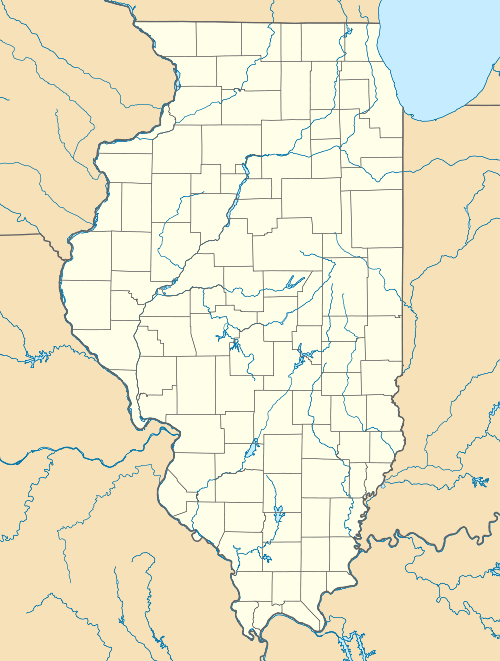 Map of the U.S. state of Illinois showing the location of Spitler Woods State Natural Area | |
| Location | Macon County, Illinois, United States |
| Nearest city | Mount Zion, Illinois |
| Coordinates | 39°46′40″N 88°51′25″W / 39.77778°N 88.85694°WCoordinates: 39°46′40″N 88°51′25″W / 39.77778°N 88.85694°W |
| Area | 202.5 acres (81.9 ha) |
| Established | 1937 |
| Governing body | Illinois Department of Natural Resources |
Spitler Woods State Natural Area is a 202.5-acre (81.9 ha) state park located adjacent to Mount Zion, Illinois. The state park is located within the Decatur, Illinois metropolitan area. The eastern two-thirds of the state park is a listed state natural area noted for its old-growth forest grove of white oak and hickory. The park is managed by the Illinois Department of Natural Resources (IDNR).
Spitler Woods contains two trails totaling 2.5 miles (4.0 km) in length. Hikers can investigate the loessy soil forming the banks of Squirrel Creek, one of the tiny tributaries that eventually come together to form Lake Decatur and the Sangamon River. The woods are filled with squirrels, who eat the acorns and other mast shed by the old-growth hardwoods. Although deer live in the natural area, hunting is forbidden.
The park is adjacent to, and has signed access from, Illinois Route 121. It is named in honor of Ida B. Spitler, who donated Spitler Woods to the state of Illinois in 1937.
The park's headquarters is 705 Spitler Park Drive, Mount Zion IL 62549.