Stella Maris Airport
| Stella Maris Airport | |||||||||||
|---|---|---|---|---|---|---|---|---|---|---|---|
| IATA: SML – ICAO: MYLS | |||||||||||
| Summary | |||||||||||
| Airport type | Public | ||||||||||
| Serves | Long Island, Bahamas | ||||||||||
| Location | Stella Maris | ||||||||||
| Elevation AMSL | 10 ft / 3 m | ||||||||||
| Coordinates | 24°33′53″N 075°16′14″W / 24.56472°N 75.27056°WCoordinates: 24°33′53″N 075°16′14″W / 24.56472°N 75.27056°W | ||||||||||
| Map | |||||||||||
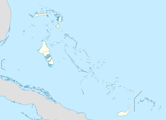 MYLS Location in The Bahamas | |||||||||||
| Runways | |||||||||||
| |||||||||||
Stella Maris Airport (IATA: SML, ICAO: MYLS) is an airport located near Stella Maris, on Long Island in The Bahamas.[1]
Facilities
The airport resides at an elevation of 10 ft (3.0 m) above mean sea level. It has one runway designated 13/31 with an asphalt surface measuring 1,219 m × 23 m (3,999 ft × 75 ft).[1]
The airport was designed and built by Jack Henry Cordery who was engaged by Stella Maris Estate Company in 1967 when he emigrated from England to take the job of Estate Development Manager. He died on Long Island in 1968 and is buried there.
Airlines and destinations
| Airlines | Destinations |
|---|---|
| Pineapple Air | Nassau |
| Southern Air Charter | Nassau |
References
- 1 2 3 Airport information for MYLS at World Aero Data. Data current as of October 2006.Source: DAFIF.
- ↑ Airport information for SML at Great Circle Mapper. Source: DAFIF (effective October 2006).
External links
This article is issued from Wikipedia - version of the 12/4/2016. The text is available under the Creative Commons Attribution/Share Alike but additional terms may apply for the media files.