Stondon
| Stondon | |
 The Baptist Chapel in Lower Stondon |
|
 Stondon |
|
| Population | 1,821 (2001) 2,295 (2011 Census including Henlow Camp)[1] |
|---|---|
| OS grid reference | TL1535 |
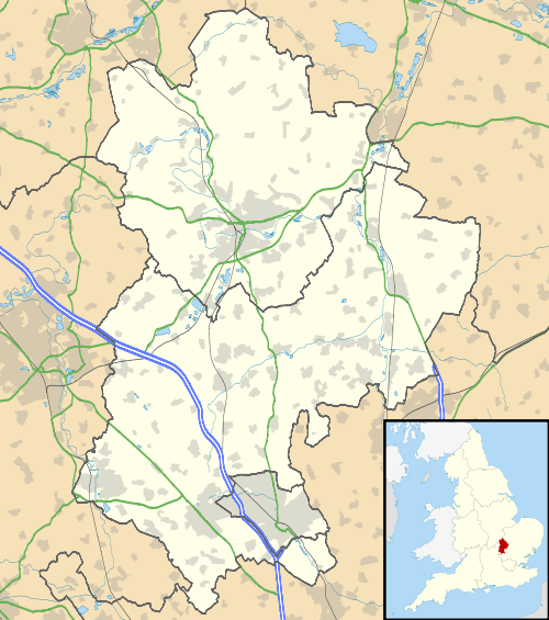
| Civil parish | Stondon |
| Unitary authority | Central Bedfordshire |
| Ceremonial county | Bedfordshire |
| Region | East |
| Country | England |
| Sovereign state | United Kingdom |
| Post town | HENLOW |
| Postcode district | SG16 |
| Dialling code | 01462 |
| Police | Bedfordshire |
| Fire | Bedfordshire and Luton |
| Ambulance | East of England |
| EU Parliament | East of England |
| UK Parliament | Mid Bedfordshire |
|
|
Coordinates: 52°00′11″N 0°19′05″W / 52.003°N 0.318°W
Stondon is a civil parish located in the Central Bedfordshire district of Bedfordshire, England. The parish includes the settlements of Lower Stondon and Upper Stondon.
The name "Stondon" derives from the Saxon word meaning Stone Hill. The parish itself however was only created in 1985 after an amalgamation of the Lower and Upper Stondon civil parishes.[2]
Stondon is mentioned in the Domesday Book. The entry is as follows: Standone: St Benedict's of Ramsey; Engelhere from Azelina, Ralph Tailbois' wife.
Its services consist of a golf club and bistro, several hairdressers, a transport museum, Stondon Lower School and more.
References
- ↑ "Civil Parish population 2011". Neighbourhood Statistics. Office for National Statistics. Retrieved 8 November 2016.
- ↑ "'Guide to Bedfordshire Parishes'". Bedfordshire.gov.uk. Retrieved 2012-08-06.
External links
![]() Media related to Stondon at Wikimedia Commons
Media related to Stondon at Wikimedia Commons
This article is issued from Wikipedia - version of the 11/8/2016. The text is available under the Creative Commons Attribution/Share Alike but additional terms may apply for the media files.