Svilaja
| Svilaja | |
|---|---|
 Svilaja The highest peak of Svilaja | |
| Highest point | |
| Elevation | 1,508 m (4,948 ft) |
| Coordinates | 43°48′35.12″N 16°26′37.63″E / 43.8097556°N 16.4437861°ECoordinates: 43°48′35.12″N 16°26′37.63″E / 43.8097556°N 16.4437861°E |
| Geography | |
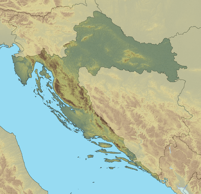
| Location | Dalmatia, Croatia |
| Parent range | Dinaric Alps |
Svilaja is a mountain range in Croatia, located in inland of Dalmatian Zagora.
It belongs to Dinaric Alps, and it stretches from the town of Sinj northwest to the Petrovo field, approximate 30 km in length.

Peak Troglav (red triangle) and Peruća Lake glanced from mountain Svilaja.
The highest peak is Svilaja or Bat at 1508 m.a.s.l.[1] Some of other northwest peaks are Jančak (1483 m), Kita (1413 m), Turjača (1340 m) and Lisina (1301 m) over the town of Vrlika.
From nearest mountain cliff Veliki Kozjak (1207 m), which is northwest continuation of Svilaja, it is separated with the "lower saddle" Lemeš (860 m) above village of Maovice.
Northern parts of the mountain are dangerous, because of mines left during the Croatian War of Independence.[2]
See also
References
- ↑ Ostroški, Ljiljana, ed. (December 2015). Statistički ljetopis Republike Hrvatske 2015 [Statistical Yearbook of the Republic of Croatia 2015] (PDF). Statistical Yearbook of the Republic of Croatia (in Croatian and English). 47. Zagreb: Croatian Bureau of Statistics. p. 49. ISSN 1333-3305. Retrieved 27 December 2015.
- ↑ "Svilaja – vrh Svilaja". hps.hr (in Croatian). Croatian Mountaineering Association. Retrieved 2 January 2016.
This article is issued from Wikipedia - version of the 1/2/2016. The text is available under the Creative Commons Attribution/Share Alike but additional terms may apply for the media files.