Tahora, Manawatu-Wanganui
| Tahora | |
|---|---|
 Tahora | |
| Coordinates: 39°1′52″S 174°48′12″E / 39.03111°S 174.80333°ECoordinates: 39°1′52″S 174°48′12″E / 39.03111°S 174.80333°E | |
| Country | New Zealand |
| Region | Manawatu-Wanganui Region |
| District | Stratford District |
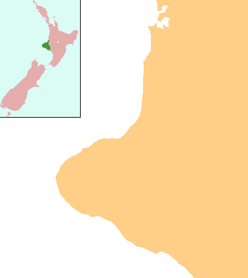
Tahora is a small settlement located in the Manawatu-Wanganui Region in the North Island of New Zealand along the Stratford–Okahukura railway line and State Highway 43 between Stratford and Taumarunui. It was the location of an annual folk music festival for 30 years.
Further reading
Music
- Tahora 21st [sound recording]: a coming of age, Tahora, [N.Z.] Tahora Folk Festival, 1997 This is a 2-CD collection, featuring performers and songs from the 21st Tahora Folk Festival.
- Ward, Julian (prod.) (2001), Tahora 25 years [videorecording], Wellington, [N.Z.] Espial Films. This is a brief video cassette chronicling the 2000–2001 Tahora Folk Festival: dedicated to the memory of Alan Muggeridge, Taranaki musician /luthier /song writer.
People
- RSA Memorial Arch, Ohawe Military Cemetery, Okaiawa Cemetery, Otakeho Cemetery, Tahora Cemetery, Te Namu Maori Cemetery, Waihi Cemetery, Whangamomona Cemetery, n.p.: n.p., n.d.
- There is a series of interviews conducted with a local Tahora identity: and CD copies are held at Puke Ariki in New Plymouth. The extent of these interviews can be ascertained at "David Walter interviews (ARC2003-811)". Archived from the original on 14 October 2008. Retrieved 2008-01-27.
Schools
- Tahora and Raekohua, Upper Whangamomona School centennial, 1897–1997: 100 years of history, Stratford, [N.Z.]: Combined Tahora, Raekohua and Upper Whangamomona Schools Centennial, Centenary Committee, 1998, ISBN 0-473-05672-0
External links
This article is issued from Wikipedia - version of the 9/11/2016. The text is available under the Creative Commons Attribution/Share Alike but additional terms may apply for the media files.