Thamaga
| Thamaga | |
|---|---|
| Village | |
 | |
 Thamaga | |
| Coordinates: 24°43′S 25°32′E / 24.717°S 25.533°E | |
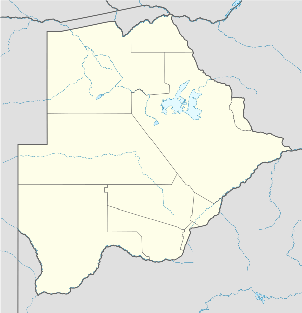
| Country | Botswana |
| District | Kweneng District |
| Elevation | 1,053 m (3,455 ft) |
| Population (2011)[1] | |
| • Total | 19,547 |
| Time zone | GMT +2 |
| Climate | BSh |
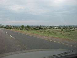
Thamaga is a large village located in the Kweneng District of Botswana and about 40 km west of the capital city Gaborone. It is home to 19,365 inhabitants at the 2011 census. It is becoming year by year like a suburb part of the Gaborone agglomeration, home to 421,907 inhabitants at the 2011 census.
The village is dominated by large rock formations, the largest being Thamaga Hill. Thamaga is second in the district to Molepolole in both size and population. The majority of the residents are from the Bakgatla-ba-ga-Mmanaana Tribe, and their totem is the vervet monkey (kgabo) and tan/white cow (Mmanaana coloring). A significant amount of archaeological research has taken place in the surrounding area over the last ~20 years, and current research is being conducted by a team from the University of California-Berkeley and the University of Botswana.
The Bakgatla-ba-ga-Mmanaana settled there in the mid-1930s and they are a break-away group and the same people as Bakgatla-ba-ga-Mmanaana in Moshupa, just 17 km to the southwest. Most of the old village wards where the tribes men settled from Moshupa maintained the same names as the wards in Thamaga. People of any particular wards between the two villages are related and commonly use similar surnames. Even the chiefs of the two villages are of the same blood and use common names of Mosielele and Gobuamang.
The area was formerly inhabited by various groups or "Bakgalagadi" (earlier arrivals of Bantu-speaking farmers and herders) and hunter-gatherers ancestral to \he people today called San, Bushmen, and Basarwa. The history of these peoples in the Thamaga area, based on radiocarbon dating, has been traced back at least 5000 years.
Gallery
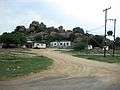 Rock formations in Thamaga
See also
References
- ↑ "2011 census". Archived from the original on 2013-01-11.
| Urban villages |  | |
|---|---|---|
| Rural villages |
| |
Coordinates: 24°43′S 25°32′E / 24.717°S 25.533°E