Thotapalli Barrage
| Thotapalli Barrage | |
|---|---|
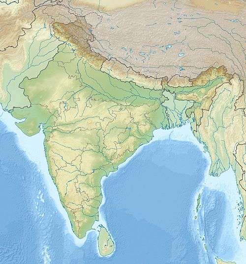
 Location of Thotapalli Barrage in India | |
| Official name |
సర్దార్ గౌతు లచ్చన్న తోటపల్లి బ్యారేజి Sardar Gouthu Latchanna Thotapalli Barrage सर्दार् गौतु लच्चन्न तोटपल्लि बांध |
| Location | Thotapalli, Vizianagaram district, Andhra Pradesh |
| Coordinates | 18°47′5″N 83°29′47″E / 18.78472°N 83.49639°ECoordinates: 18°47′5″N 83°29′47″E / 18.78472°N 83.49639°E |
| Construction began | 10 September 2003 |
| Opening date | 10 September 2015 |
| Construction cost | 775 crore rupees |
| Dam and spillways | |
| Impounds | Nagavali River |
| Height | 20.47 metres (67 ft) from river level |
| Length | 8,200 metres (26,903 ft) |
| Width (base) | 6 metres (20 ft) |
| Reservoir | |
| Creates | Sardar Gouthu Latchanna Thotapalli Barrage |
| Catchment area | 5,037 acres (2,038 ha) |
Thotapalli Barrage is located in Garugubilli Mandal, Vizianagaram district of Andhra Pradesh State. It was named after the freedom fighter and Political leader Sardar Gouthu Latchanna. The project construction was in between 2003 and 2015. This Project was inaugurated by Andhra Pradesh Chief Minister Nara Chandra babu Naidu on September 10, 2015. The Project provides irrigation to 1,20,000 acres in Srikakulam and Vizianagaram districts.[1]
In 1908, the old Thotapalli regulator was constructed across the Nagavali River with a 64,000 acres irrigation potential. The regulator was replaced by the current barrage which has a 2.51 Tmcft storage capacity and an additional 56,000 acres irrigation potential.[2][3]
See also
References
- ↑ "India: National Register of Large Dams 2009". Thotapalli Project. Retrieved 11 September 2015.
- ↑ "Thotapalli Barrage Project". Retrieved 11 September 2015.
- ↑ "Thotapalli Irrigation Project JI00049". Retrieved 11 September 2015.
This article is issued from Wikipedia - version of the 11/29/2016. The text is available under the Creative Commons Attribution/Share Alike but additional terms may apply for the media files.