Topi, Khyber Pakhtunkhwa
| Topi Topaye[nb 1] | |
|---|---|
| Town | |
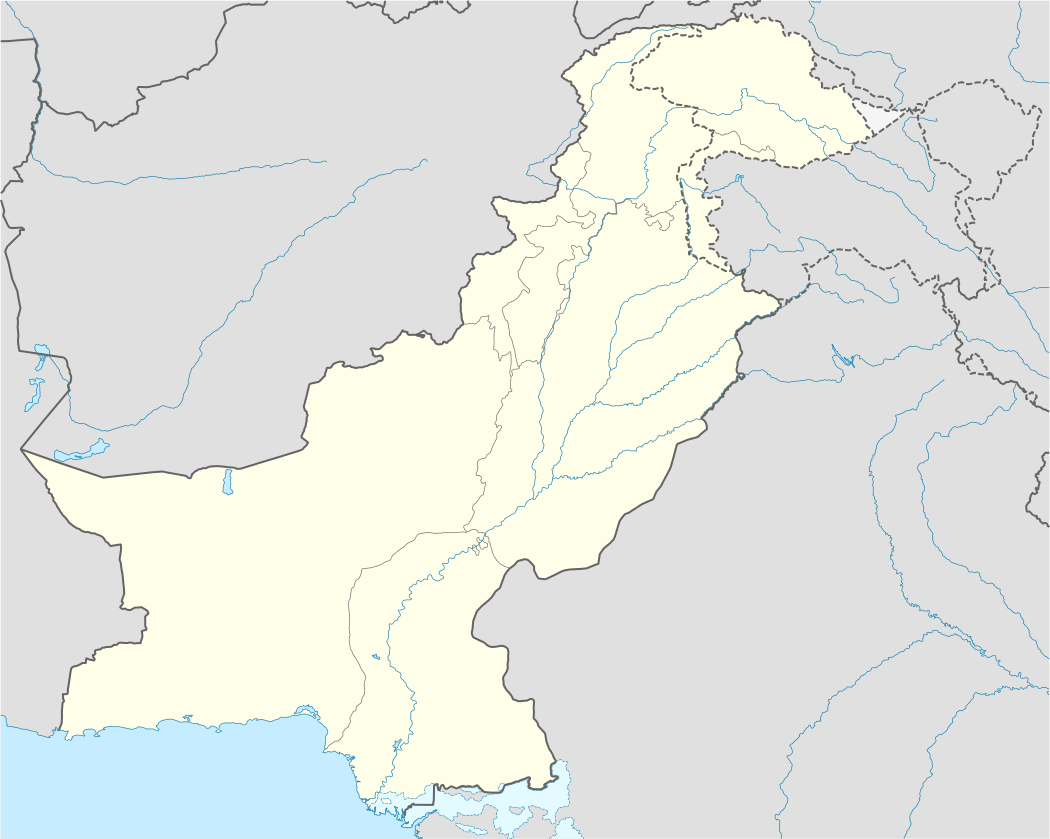 Topi Location of Topi in Pakistan | |
| Coordinates: 34°04′08″N 72°37′28″E / 34.0689°N 72.6244°ECoordinates: 34°04′08″N 72°37′28″E / 34.0689°N 72.6244°E[1] | |
| Country |
|
| Province | Khyber Pakhtunkhwa |
| District | Swabi |
| Tehsil | Topi |
| Elevation[1] | 335 m (1,102 ft) |
| Population [2] | |
| • Estimate (2004) | 36,340 |
| Time zone | PST (UTC+5) |
| Post Code | 23460 |
| Telephone Dialing Code | 05372-0938[3] |
| Number of Union councils | 2 |
Topi (Pashto: ټوپۍ) is a town in Swabi District of the Khyber Pakhtunkhwa of Pakistan. The town, located in the east of the district,[1] is administratively subdivided into two Union councils: Topi East and Topi West.[4] It is the birthplace of Sahibzada Abdul Qayyum.
Geography
Topi is located in the east of Swabi District of the Khyber Pukhtoonkwa Province of Pakistan. Topi is located to the west of the Tarbela Dam, the world's largest earth filled dam.[5][6] Tarbela Dam is the largest hydroelectric generation project in Haripur District, Pakistan, producing 3,495 megawatts of electricity accounting for 40 percent of the Water and Power Development Authority's total power output as of 1980.[5]
Education sector
The town of Topi is home of the Ghulam Ishaq Khan Institute of Engineering Sciences and Technology (GIKI), named after Ghulam Ishaq Khan, a former President of Pakistan who had served at Topi during his illustrious career as a civil servant.[7]
Notable people
- Sahibzada Abdul Qayyum Khan, 1st Chief Minister of N.W.F.P, Founder of Islamia College
Notes
- ↑ The names of these places are "Urdu-ized"—the locals do not use this pronunciation. Locally Topi = Topaye; Swabi = Sawa'Baye; Tarbela = tuR'Bella; Kotha = koTa, etc.
References
- 1 2 3 "Maps, Weather, Videos, and Airports for Topi, Pakistan". Directory of Cities and Towns in North-West Frontier Province, Pakistan. Falling Rain Genomics. 1996–2010. Retrieved 2010-10-28.
- ↑ "Topi, Pakistan". WolframAlpha. Wolfram Research. Retrieved 2010-10-28.
- ↑ "Pakistan City Dialing Codes (Telephone/Mobile)". OnePakistan. OnePakistan.com. 2010. Retrieved 2010-10-28.
- ↑ "Tehsils & Unions in the District of Swabi". National Reconstruction Bureau. Government of Pakistan. Archived February 9, 2012, at the Wayback Machine.
- 1 2 Asianics Agro-Dev. International (Pvt) Ltd. (2000). Tarbela Dam and related aspects of the Indus River Basin, Pakistan (PDF) (Report). Cape Town: World Commission on Dams. Retrieved 2010-10-28.
- ↑ Earth Sciences Web Team. "Tarbela Dam, Pakistan". Earth Observatory. National Aeronautics and Space Administration. Retrieved 2010-10-28.
- ↑ http://www.giki.edu.pk