U.S. Virgin Islands Highway 33
| |
|---|---|
| Route information | |
| Length: | 7.0 mi[1] (11.3 km) |
| Major junctions | |
| West end: |
|
|
| |
| East end: |
|
| Highway system | |
| USVI Highways | |

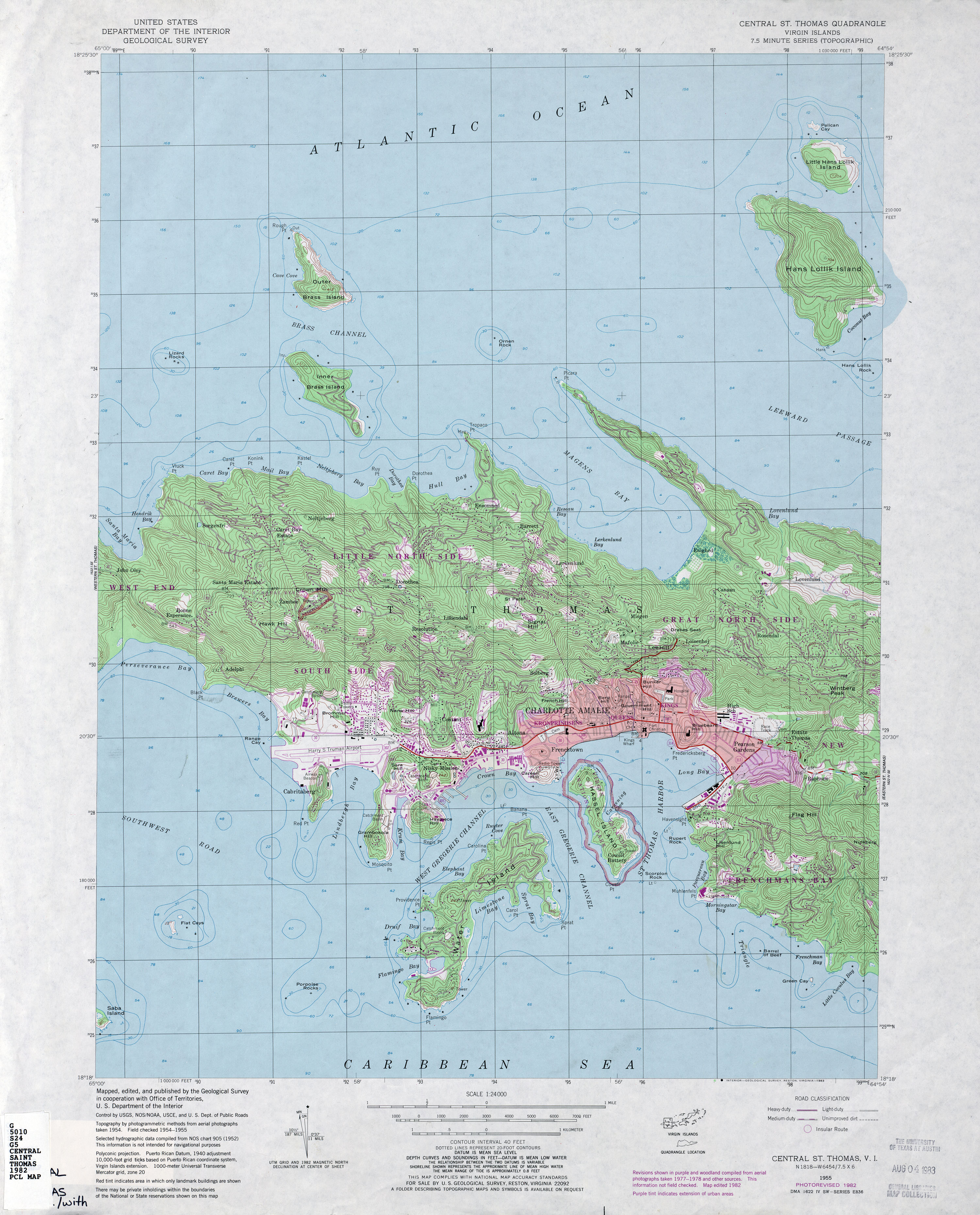
Highway 33 is a road on St. Thomas, USVI. It runs from Highway 30 near Frenchtown and takes a northerly path toward Crown Mountain. The road takes a circuitous route around the mountain; the route initially bypasses it to the west, then swings east and follows the mountain's north side. Highway 33 then intersects Highway 333, which provides access to St. Thomas' north and east sides, and it takes a southeasterly turn to meet Highway 40. Highway 33 continues east-southeast, intersecting Highway 379 before ending at Highway 35.
Notes
Highway 33 takes a long path around three sides of Crown Mountain. This section can be bypassed by a short stretch of Highway 332 and Highway 405; however, those roads are rather twisty and can be dangerous, which may be why the longer piece of road was designated Highway 33.
Auxiliary routes
Highway 332
| |
|---|---|
| Location: |
|
| Length: | 1.1 mi[2] (1.8 km) |
Highway 332 is a spur route of Highway 33 on St. Thomas, USVI. The road provides a link from Highway 33 to Highway 40, connecting two major north–south roads out of Charlotte Amalie.
Highway 333
| |
|---|---|
| Location: |
|
| Length: | 0.8 mi[3] (1.3 km) |
Highway 333 is a road on St. Thomas, USVI. It provides a connection from Highway 33 north to Highway 404. It also allows travelers to access Hull Bay from the west side of the island.
Highway 334
| |
|---|---|
| Location: |
|
| Length: | 0.3 mi[4] (0.5 km) |
Highway 334 is a road on central St. Thomas, USVI. It provides a connection from Highway 40 west to Highway 33 as they head towards the capital of the territory, Charlotte Amalie.[5]
References
- ↑ Google (June 8, 2009). "U.S. Virgin Islands Highway 33" (Map). Google Maps. Google. Retrieved June 8, 2009.
- ↑ Windows Live Local
- ↑ Windows Live Local
- ↑ Google Maps (Map). Cartography by Europa Technologies. Google. Retrieved 2009-07-01.
- ↑ Central St. Thomas (Map). 1:24000. Cartography by USGS. USGS. 1982. Retrieved 2009-07-01.