Ulricehamn
| Ulricehamn | |
|---|---|
|
The town hall of Ulricehamn | |
 Ulricehamn 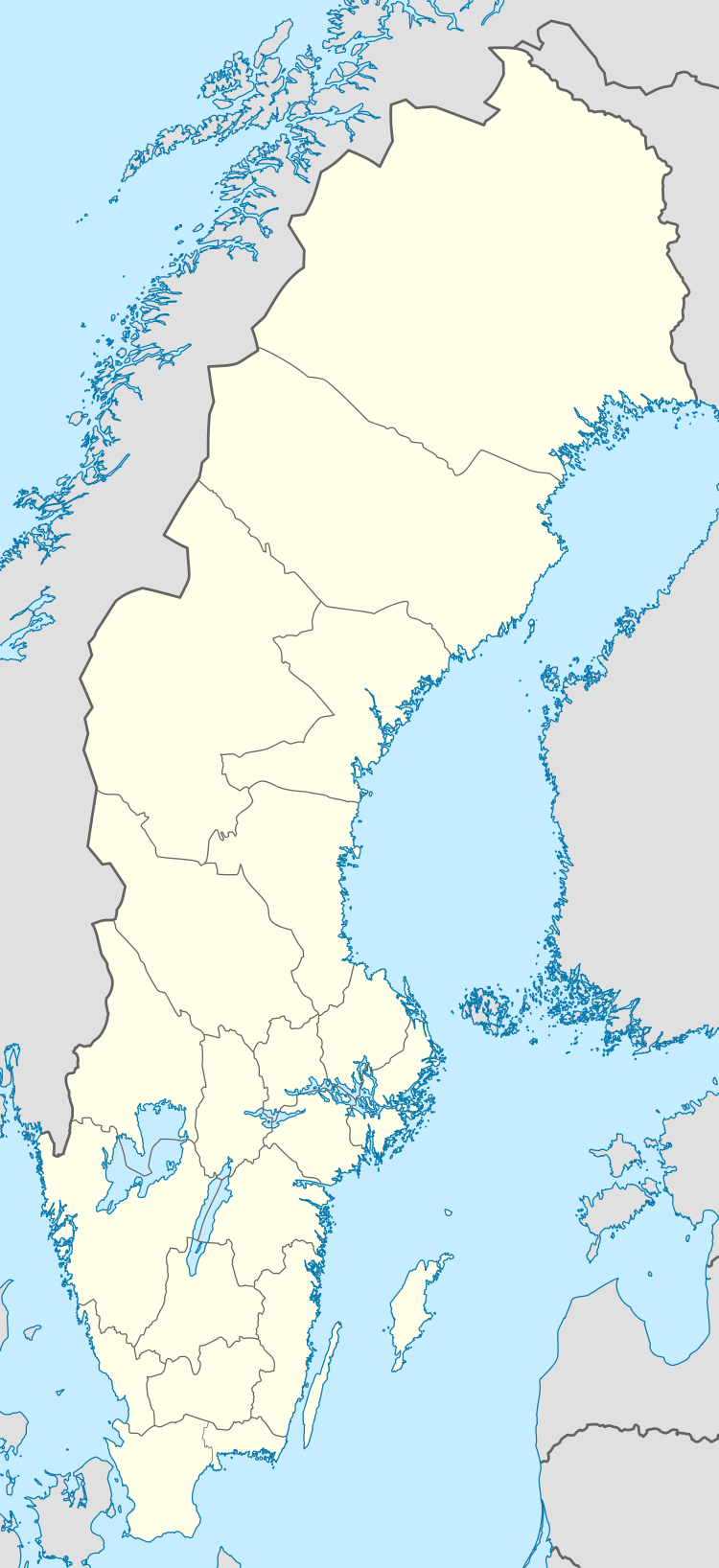 Ulricehamn | |
| Coordinates: 57°47′N 13°25′E / 57.783°N 13.417°ECoordinates: 57°47′N 13°25′E / 57.783°N 13.417°E | |
| Country | Sweden |
| Province | Västergötland |
| County | Västra Götaland County |
| Municipality | Ulricehamn Municipality |
| Area[1] | |
| • Total | 6.23 km2 (2.41 sq mi) |
| Population (31 December 2010)[1] | |
| • Total | 9,787 |
| • Density | 1,571/km2 (4,070/sq mi) |
| Time zone | CET (UTC+1) |
| • Summer (DST) | CEST (UTC+2) |
| Climate | Dfb |

Ulricehamn is a locality and the seat of Ulricehamn Municipality, Västra Götaland County, Sweden, with 9,787 inhabitants in 2010.[1]
History
Ulricehamn, originally known as Bogesund, has been populated at least since the Middle Ages. The town has had city privileges since at least the 15th century. There are still several old buildings from the 17th and 18th century and the picturesque main street Storgatan has existed in its present form for centuries. Among other historical structures, there is the city hall, located at the market square, a yellowish rococo building from 1789.
The town is situated on Ätranstigen ("The Ätran path"), a trail following the river Ätran, stretching from the Kattegat strait in the west an inwards the country, connecting with other roads leading eventually to the eastern cities Sigtuna and Uppsala. In 1520, the Battle of Bogesund took place on the ice of the lake Åsunden.
In 1741, it was renamed Ulricehamn in honour of Queen Ulrica Eleonora. Following a fire in 1788 it encountered a recession, but several textile industries were established in the 19th century. Together with its first railroad in 1874 the town's importance as a center of trade increased.
.jpg)

Geography
The town is located on the slopes of a lakeside, where the river Ätran flows into lake Åsunden. The geography is signified by the scenic nature of trees and water, which offers popular activities such as bicycling, inlining and boat trips.
In the winter, Ulricehamn has become something of the Ski centre of Western Sweden. For alpine skiing, there are 7 lifts and 6 slopes; while for cross-country skiing there are some 210 kilometers of prepared courses.
References
| Wikimedia Commons has media related to Ulricehamn. |
- 1 2 3 "Tätorternas landareal, folkmängd och invånare per km2 2005 och 2010" (in Swedish). Statistics Sweden. 14 December 2011. Archived from the original on 10 January 2012. Retrieved 10 January 2012.