Vaza-Barris River
| Vaza-Barris River | |
|---|---|
 Vaza-Barris River (Brazil) | |
| Native name | Rio Vaza-Barris |
| Country | Brazil |
| Basin | |
| Main source | Bahia |
| River mouth |
Atlantic Ocean 11°10′17″S 37°09′49″W / 11.171380°S 37.163546°WCoordinates: 11°10′17″S 37°09′49″W / 11.171380°S 37.163546°W |
| Physical characteristics | |
| Length | 450 kilometres (280 mi) |
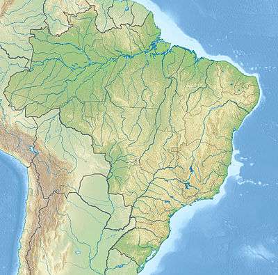
The Vaza-Barris River (Portuguese: Rio Vaza-Barris) is a river in northeastern Brazil. The Vaza-Barris originates in northeastern Bahia state, and flows east through Bahia and Sergipe states to empty into the Atlantic Ocean near São Cristóvão.
Course
The Vaza-Barris is a perennial river about 450 kilometres (280 mi) in length.[1] The source of the river is at the foot of the Serra dos Macacos in interior of Bahia near the town of Uauá.[1] In the municipality of Canudos, Bahia, the river is impounded by the Cocorobó Dam.[2] Is watershed above the dam drains an area of 3,600 square kilometres (1,400 sq mi).[3] Further east, the river defines the south boundary of the Serra Branca / Raso da Catarina Environmental Protection Area in the municipality of Jeremoabo, Bahia.[4] After leaving Bahia it flows through Sergipe to the coast.[1]
See Also
References
Sources
- Açude Cocorobó (in Portuguese), DNOCS, retrieved 2016-11-03
- APA Serra Branca / Raso da Catarina (in Portuguese), INEMA: Instituto do Meio Ambiente e Recursos Hídricos (BA), retrieved 2016-11-03
- "Cocorobó Dam", IndustryAbout.com, retrieved 2016-11-03
- Proposta inclui a Bacia do Rio Vaza-Barris na área de atuação da Codevasf (in Portuguese), Chamber of Deputies (Brazil), 16 January 2014, retrieved 2016-11-03