High Cross, Leicestershire
High Cross
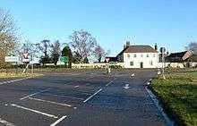
High Cross is the name given to the crossroads of the Roman roads of Watling Street and Fosse Way in Leicestershire, England. It is about a mile west of the village of Claybrooke Magna and was in the hundred of Guthlaxton. It was the site of a Romano-British settlement known as Venonae or Venonis, with a nearby fort.
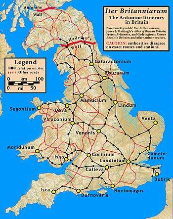
A map of the known Roman road network, highlighting the routes included in the Antonine Itinerary
In 2008, this section of Watling Street is now a dual carriageway section of the A5, the southern part of the Fosse Way is a B road, and the northern route of the Fosse is now a track which is a part of a long-distance path called the Leicestershire Round.
External links
- Venonis
- The Mirror of Literature, Amusement, and Instruction, Vol. X, No. 272, published September 8, 1827
Coordinates: 52°29′36″N 1°18′07″W / 52.49325°N 1.30182°W
This article is issued from Wikipedia - version of the 10/20/2015. The text is available under the Creative Commons Attribution/Share Alike but additional terms may apply for the media files.