Voinjama Airport
| Voinjama Airport Tenebu Airfield | |||||||||||
|---|---|---|---|---|---|---|---|---|---|---|---|
| IATA: VOI – ICAO: GLVA | |||||||||||
| Summary | |||||||||||
| Airport type | Public | ||||||||||
| Serves | Voinjama | ||||||||||
| Elevation AMSL | 1,395 ft / 425 m | ||||||||||
| Coordinates | 8°19′40″N 9°46′5″W / 8.32778°N 9.76806°WCoordinates: 8°19′40″N 9°46′5″W / 8.32778°N 9.76806°W | ||||||||||
| Map | |||||||||||
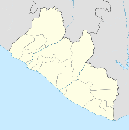 Voinjama | |||||||||||
| Runways | |||||||||||
| |||||||||||
Voinjama Airport (IATA: VOI, ICAO: GLVA) is an airport serving the town of Voinjama, Liberia. The airport is near the village of Tenebu, 10 kilometres (6 mi) south of Voinjama.
See also
- Transport in Liberia
 Liberia portal
 Aviation portal
References
- World Airport Codes - Voinjama Tenebu
- Google Earth
External links
This article is issued from Wikipedia - version of the 12/4/2016. The text is available under the Creative Commons Attribution/Share Alike but additional terms may apply for the media files.