Vung Tau Airport
| Vung Tau Airport Sân bay Vũng Tàu | |||||||||||
|---|---|---|---|---|---|---|---|---|---|---|---|
| IATA: VTG – ICAO: VVVT | |||||||||||
| Summary | |||||||||||
| Airport type | Public | ||||||||||
| Operator | Southern Service Flight Company | ||||||||||
| Serves | Vung Tau, Bà Rịa–Vũng Tàu Province, Vietnam | ||||||||||
| Coordinates | 10°22′13″N 107°05′36″E / 10.37028°N 107.09333°ECoordinates: 10°22′13″N 107°05′36″E / 10.37028°N 107.09333°E | ||||||||||
| Map | |||||||||||
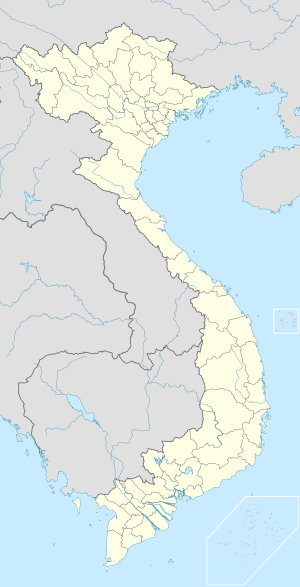 VTG Location of the airport in Vietnam | |||||||||||
| Runways | |||||||||||
| |||||||||||
Vung Tau Airport (IATA: VTG, ICAO: VVVT) (Vietnamese: Sân bay Vũng Tàu) is a small airport in southern Vietnam, in the Bà Rịa–Vũng Tàu Province. The airport serves the city of Vũng Tàu and is located near the downtown of the city.
Facilities
There is a 1,800 m paved runway (as of 2006). The airport is capable of handling small aircraft such as ATR-72 and AN-38.
History
During the Vietnam War, Vũng Tàu was used as an in-county rest and recreation (R&R) center for U.S. forces operated by the 1st Logistics Command and the airport was used to transport U.S personnel from their units to the R&R center.[3]
Airlines and destinations
The Southern Service Flight Company provides helicopter services for petroleum exploration and production activities offshore of Vũng Tàu.
See also
References
- ↑ Airport information for VVVT at Great Circle Mapper.
- ↑ Airport information for Vung Tau Airport at Search (for) Travel website.
- ↑ Kelley, Michael (2002). Where we were in Vietnam. Hellgate Press. pp. 5–542–3. ISBN 978-1555716257.