Wasenkoepfel
| Wasenkoepfel | |
|---|---|
 Wasenkoepfel | |
| Highest point | |
| Elevation | 526 m (1,726 ft) |
| Coordinates | 48°58′29″N 7°35′56″E / 48.97477°N 7.59889°ECoordinates: 48°58′29″N 7°35′56″E / 48.97477°N 7.59889°E |
| Geography | |
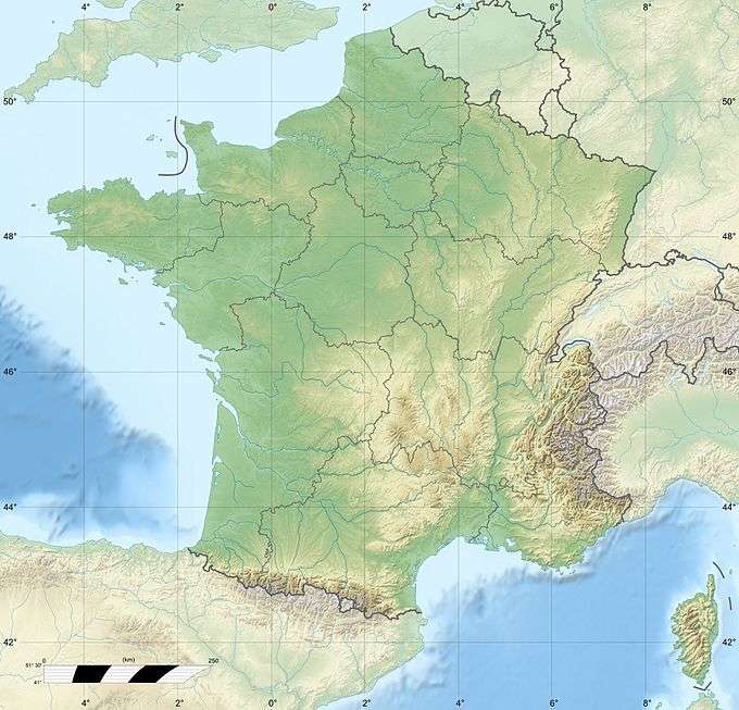
| Location | Lower Alsace, Alsace, France |
| Parent range | Vosges |
The Wasenkoepfel (526 m) is a hill northwest of Oberbronn in the Lower Alsace in the French Vosges. It is the highest point of the southern Wasgau, a Franco-German, cross-border region that comprises the southern part of the Palatinate Forest and the northern part of the Vosges.
Tourism
The Wasenkoepfel lies on the French long-distance path, the GR 53. It is also accessible on foot from Oberbronn on the path to the ruins of Château du Grand-Arnsberg (German: Burg Groß Arnsburg) taking about three quarters of an hour. There is an observation tower at the top erected in 1887 by the Vosges Club (Club Vosgien); however its view is now restricted by trees.
External links
- Photo of the tower on the Wasenkoepfel
- Walking tour to the Wasenkoepfel (from the Rother Walking Guide to Alsace) (pdf; 902 kB)
This article is issued from Wikipedia - version of the 5/19/2016. The text is available under the Creative Commons Attribution/Share Alike but additional terms may apply for the media files.