Watarru Indigenous Protected Area
| Watarru Indigenous Protected Area South Australia | |
|---|---|
|
IUCN category II (national park) | |
 Watarru Indigenous Protected Area | |
| Nearest town or city | Watarru |
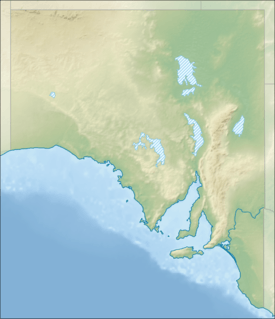
| Coordinates | 27°30′S 129°30′E / 27.500°S 129.500°ECoordinates: 27°30′S 129°30′E / 27.500°S 129.500°E |
| Established | 16 June 2000[1] |
| Area | 13,925.23 km2 (5,376.6 sq mi)[1] |
| Managing authorities | Aṉangu Pitjantjatjara Yankunytjatjara Land Management |
| Website | Watarru Indigenous Protected Area |
| See also | Protected areas of South Australia |
The Watarru Indigenous Protected Area is an Indigenous Protected Area in the north west corner of South Australia.[2] It covers an area of 13,925 square kilometres (5,376 sq mi) in the Great Victoria Desert. It is the traditional land of the Pitjantjatjara, Ngaanyatjarra and Yankunytjatjara peoples.[2]
The area was made an Indigenous Protected Area in June 2000.[2] It is managed by the Watarru community according to their traditional laws and practices, known as Tjukurpa. The environment has not been damaged by cattle grazing or other farming practices. The Anangu are working with scientists to develop ways of dealing with feral animals including cats, foxes and camels.[2] It is classified as an IUCN Category II protected area.[1]
See also
References
- 1 2 3 "Terrestrial Protected Areas of South Australia (see 'DETAIL' tab)". CAPAD 2012. Australian Government - Department of the Environment. 6 February 2014. Retrieved 6 February 2014.
- 1 2 3 4 "Walalkara and Watarru Indigenous Protected Areas". environment.gov.au. 2013. Retrieved 6 April 2013.
External links
- Webpage for Watarru Indigenous Protected Area on the Protected Planet website
- Agreements, Treaties and Negotiated Settlements Project profile for Watarru Indigenous Protected Area
This article is issued from Wikipedia - version of the 12/2/2016. The text is available under the Creative Commons Attribution/Share Alike but additional terms may apply for the media files.