Weißtannenhöhe
| Weißtannenhöhe | |
|---|---|
 The Weißtannenhöhe seen from Tiefen to the west. | |
| Highest point | |
| Elevation | 1,190 m above sea level (NHN) (3,900 ft) |
| Coordinates | 47°56′24.32″N 8°7′3.23″E / 47.9400889°N 8.1175639°ECoordinates: 47°56′24.32″N 8°7′3.23″E / 47.9400889°N 8.1175639°E |
| Geography | |
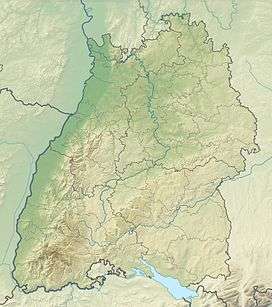 Weißtannenhöhe | |
| Parent range | Black Forest |
The Weißtannenhöhe is a mountain, 1,190 metres high, in the Black Forest in Germany and the highest point in the municipality of Breitnau.
Across the Oberbach valley, 2 kilometres to the west, is the Roßberg (1125 m).
This article is issued from Wikipedia - version of the 12/7/2015. The text is available under the Creative Commons Attribution/Share Alike but additional terms may apply for the media files.