White Hill (Nova Scotia)
For the community in Pictou County, see White Hill, Nova Scotia.
| White Hill | |
|---|---|
 White Hill | |
| Highest point | |
| Elevation | 535 m (1,755 ft) [1] |
| Prominence | 535 m (1,755 ft) [2] |
| Listing | |
| Coordinates | 46°42′00″N 60°36′00″W / 46.70000°N 60.60000°WCoordinates: 46°42′00″N 60°36′00″W / 46.70000°N 60.60000°W |
| Geography | |
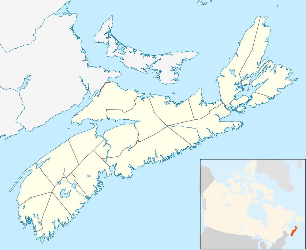
| Location | Victoria County, Nova Scotia |
| Parent range | Cape Breton Highlands |
| Topo map | NTS O11/K10 |
| Climbing | |
| Easiest route | Hike |
White Hill[3] is a Canadian peak in the Cape Breton Highlands and is the highest elevation point in the province of Nova Scotia.
Located on the plateau 15 kilometres (9.3 mi) northwest of Ingonish and 30 kilometres (19 mi) northeast of Cheticamp, the peak is situated in the Cape Breton Highlands National Park and is accessible only by hiking.
See also
References
- ↑ "Nova Scotia Geographical Names Database entry for "White Hill, County of Victoria" (includes map)". Government of Nova Scotia. Retrieved 9 April 2012.
- ↑ "White Hill, Nova Scotia". Peakbagger.com. Retrieved April 9, 2012.
- ↑ "Geographical Names Board of Canada Database entry for "White Hill, County of Victoria" (includes map)". Natural Resources Canada. Retrieved 31 May 2015.
External links
- Atlas of Canada - Facts about mountains
- Peakbagger Summary of White Hill and surroundings (with photo)
This article is issued from Wikipedia - version of the 6/7/2016. The text is available under the Creative Commons Attribution/Share Alike but additional terms may apply for the media files.