Whittingslow
| Whittingslow | |
.jpg) Lane, Whittingslow |
|
 Whittingslow |
|
| OS grid reference | SO431890 |
|---|---|
| Civil parish | Wistanstow |
| Unitary authority | Shropshire |
| Ceremonial county | Shropshire |
| Region | West Midlands |
| Country | England |
| Sovereign state | United Kingdom |
| Post town | CHURCH STRETTON |
| Postcode district | SY6 |
| Dialling code | 01694 |
| Police | West Mercia |
| Fire | Shropshire |
| Ambulance | West Midlands |
| EU Parliament | West Midlands |
| UK Parliament | Ludlow |
|
|
Coordinates: 52°29′46″N 2°50′17″W / 52.496°N 2.838°W
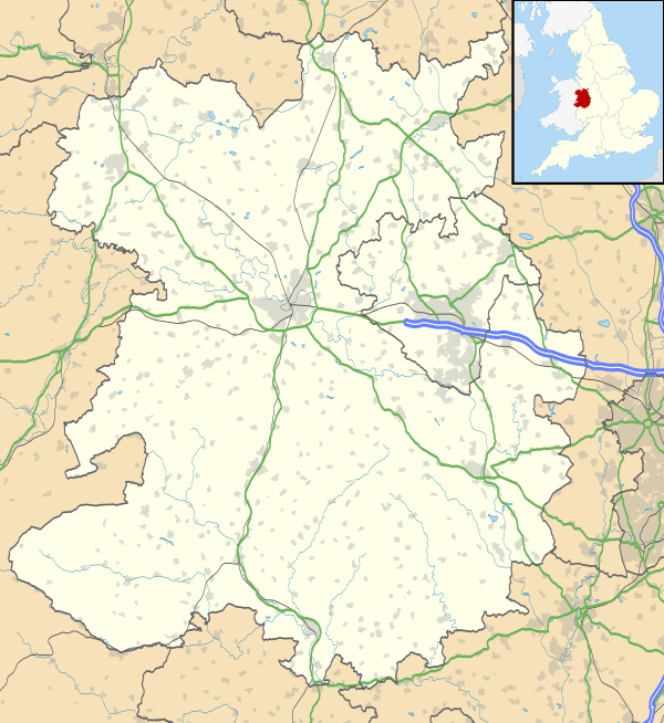
Whittingslow is a hamlet in Shropshire, England.
It is located in the parish of Wistanstow, just off the B4370 road, between Marshbrook and Cwm Head. The hamlet lies on a hilltop, at 252m above sea level. The lane from the B4370 continues, along a ridge of hills, to the hamlet of Woolston in the southwest and then on to the village of Wistanstow itself.
| Wikimedia Commons has media related to Whittingslow. |
This article is issued from Wikipedia - version of the 1/24/2016. The text is available under the Creative Commons Attribution/Share Alike but additional terms may apply for the media files.