Widmark Ice Piedmont
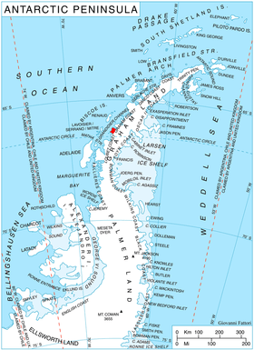
Location of Stresher Peninsula on Graham Land, Antarctic Peninsula.
Widmark Ice Piedmont (66°17′S 65°30′W / 66.283°S 65.500°WCoordinates: 66°17′S 65°30′W / 66.283°S 65.500°W) is an ice piedmont between Holtedahl and Darbel bays on Stresher Peninsula on the west coast of Graham Land. Photographed by Hunting Aerosurveys Ltd. in 1955-57 and mapped from these photos by the Falkland Islands Dependencies Survey (FIDS). Named by the United Kingdom Antarctic Place-Names Committee (UK-APC) in 1959 for Erik J. Widmark (1850–1909), Swedish ophthalmologist, pioneer of researches upon the etiology and treatment of snow blindness.
![]() This article incorporates public domain material from the United States Geological Survey document "Widmark Ice Piedmont" (content from the Geographic Names Information System).
This article incorporates public domain material from the United States Geological Survey document "Widmark Ice Piedmont" (content from the Geographic Names Information System).
This article is issued from Wikipedia - version of the 11/21/2015. The text is available under the Creative Commons Attribution/Share Alike but additional terms may apply for the media files.