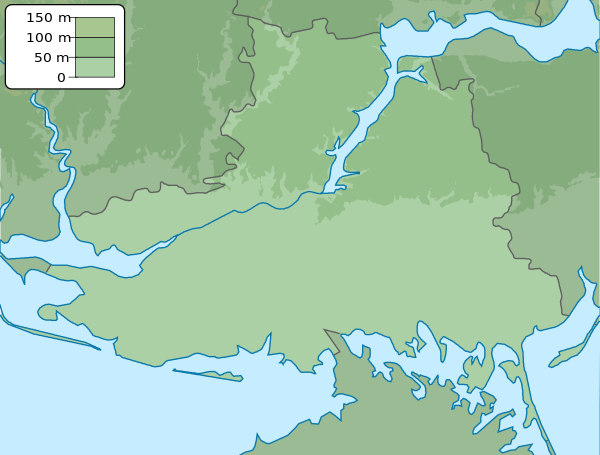
Yahorlyk Bay
| Yahorlyk Bay | |
|---|---|
 Yahorlyk Bay | |
| Location | Black Sea |
| Coordinates | 46°24′N 31°49′E / 46.400°N 31.817°ECoordinates: 46°24′N 31°49′E / 46.400°N 31.817°E |
| Ocean/sea sources | Atlantic Ocean |
| Basin countries | Ukraine |
| Max. length | 26 km (16 mi) |
| Max. width | 15 km (9.3 mi) |
| Max. depth | 5 m (16 ft) |
| Salinity | 14-15 ‰ |
| Frozen | only during unusually harsh winters |
| Islands | Dovhyi Island, Kruhlyi Island |
Yahorlyk Bay (Ukrainian: Ягорлицька затока) is a shallow water bay near the coast of Ukraine (between peninsulas Yahorlyk Kut and Kinburn peninsula), northern Black Sea. The bay is separated from the sea by chain of islands Dovhyi and Kruhlyi. It is separated from the Gulf of Tendra by Yahorlyk Kut.
The water body has 26 km long, 15 km wide, up to 5 m depth.
External links
This article is issued from Wikipedia - version of the 11/22/2015. The text is available under the Creative Commons Attribution/Share Alike but additional terms may apply for the media files.