Yana Point

Yana Point (Bulgarian: нос Яна, ‘Nos Yana’ \'nos 'ya-na\) is the point forming the west side of the entrance to Bruix Cove in eastern Livingston Island in the South Shetland Islands, Antarctica. The point separates the glacier termini of Huron Glacier to the northwest and Iskar Glacier to the southeast. The feature is named after the settlement of Yana in western Bulgaria.
Location
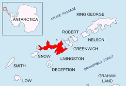
Yana Point is located at 62°37′24″S 60°00′34″W / 62.62333°S 60.00944°WCoordinates: 62°37′24″S 60°00′34″W / 62.62333°S 60.00944°W, which is 3.7 km north-northeast of Helmet Peak, 9 km south of Edinburgh Hill and 1.93 km west of Rila Point (Bulgarian topographic survey Tangra 2004/05 and mapping in 2009).
Map
L.L. Ivanov. Antarctica: Livingston Island and Greenwich, Robert, Snow and Smith Islands. Scale 1:120000 topographic map. Troyan: Manfred Wörner Foundation, 2009. ISBN 978-954-92032-6-4
References
This article includes information from the Antarctic Place-names Commission of Bulgaria which is used with permission.