Yintai District
| Yintai 印台区 | |
|---|---|
| District | |
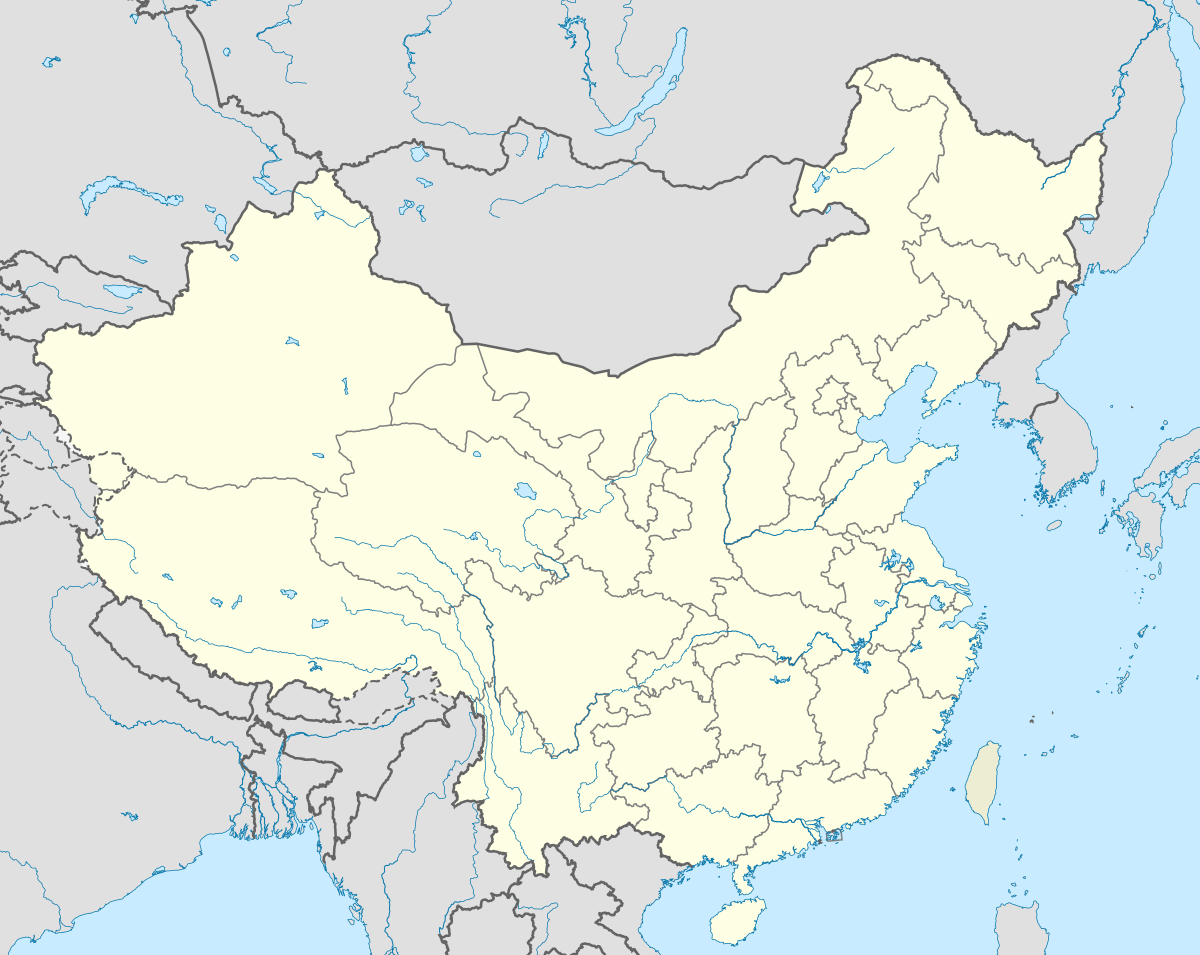 Yintai Location in the People's Republic of China | |
| Coordinates: 35°7′0″N 109°6′0″E / 35.11667°N 109.10000°ECoordinates: 35°7′0″N 109°6′0″E / 35.11667°N 109.10000°E | |
| Country |
|
| Province | Shaanxi |
| Area | |
| • Total | 242 sq mi (627 km2) |
| Population (2002) | |
| • Total | 230,000 |
| • Density | 950/sq mi (370/km2) |
| Time zone | China standard time (UTC+8) |
Yintai District (Chinese: 印台区; pinyin: yìntái qū) is a district under the administration of Tongchuan city in Shaanxi province of the People's Republic of China. Its area is 627 square kilometers, with a population of approximately 230,000 people as of 2002.
Administrative divisions
Yintai District administers two neighbourhoods, seven towns and three rural townships. The neighbourhoods are Chengguan and Sanlidong. The towns are Yuhua, Jinsuoguan, Wangshiwa, Hongtu, Azhuang, Guangyang and Chenlu. The rural townships are Yintai, Xiaojiabao and Gaolouhe.
External links
- Yintai District Government Website (Chinese)
This article is issued from Wikipedia - version of the 7/2/2016. The text is available under the Creative Commons Attribution/Share Alike but additional terms may apply for the media files.