Zigana Pass
| Zigana Pass | |
|---|---|
| Zigana Geçidi | |
 Zigana Pass | |
| Elevation | 2,032 m (6,667 ft) |
| Traversed by |
Route |
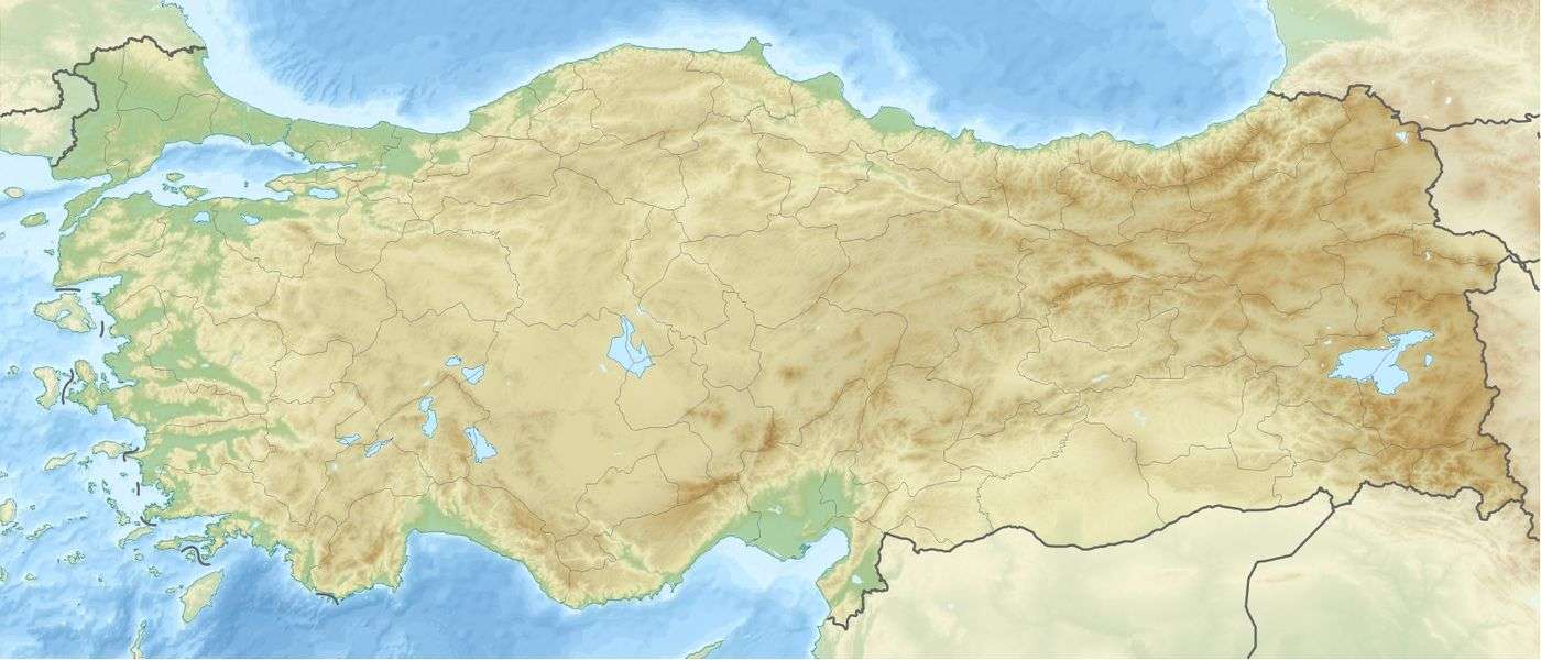
| Location | Gümüşhane Province, Turkey |
| Range | Pontic Mountains |
| Coordinates | 40°38′56.4″N 39°23′34.08″E / 40.649000°N 39.3928000°ECoordinates: 40°38′56.4″N 39°23′34.08″E / 40.649000°N 39.3928000°E |
The Zigana Pass (Turkish: Zigana Geçidi) is a mountain pass situated on the Pontic Mountains in Gümüşhane Province close to its border with Trabzon Province in northeastern Turkey. The pass, at 2,032 m (6,667 ft) above sea level, is on the route ![]()
![]() at a distance of 60 km (37 mi) from Gümüşhane and 120 km (75 mi) from Trabzon at the Black Sea coast. The pass is snow-covered five months a year.[1]
at a distance of 60 km (37 mi) from Gümüşhane and 120 km (75 mi) from Trabzon at the Black Sea coast. The pass is snow-covered five months a year.[1]
The Zigana Tunnel under the pass, at an elevation of 1,795 m (5,889 ft) above sea level, is 1,702 m (5,584 ft) long, 11 m (36 ft) wide and has a maximum height of 8 m (26 ft). It is one of longest tunnels in the country.[2]
The namesake village of Zigana, located 3.5 km (2.2 mi) southwest of the tunnel, is a popular ski-resort.[1]
Nearby Lake Limni is reachable on foot by a 3 m (9.8 ft) trail or by car on a 11 m (36 ft) paved road via Kalkanlı village.[3]
On 25 January 2009, an avalanche killed 11 hikers on Mount Zigana.[4]
See also
References
- 1 2 "En güzel 10 kar manzarası-En iyi 10:1. Zigana Geçidi-Gümüşhane". Hürriyet (in Turkish). January 13, 2006. Retrieved February 22, 2009.
- ↑ Özdemir, Ulaş (April 1, 1999). "Zigana Tüneli tehlike saçıyor". Milliyet (in Turkish). Retrieved February 25, 2009.
- ↑ "Torul-Zigana" (in Turkish). Sis Dağı. Retrieved February 23, 2009.
- ↑ "Avalanche kills 10 at Turkish ski resort". CNN. January 25, 2009. Retrieved 2009-01-25.
Gallery
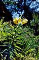
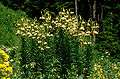
Lilies at Zigana Pass