Maxton, Kent
Coordinates: 51°07′13″N 1°17′20″E / 51.1204°N 1.2889°E
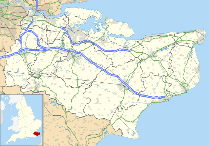
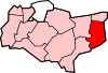
Maxton, Kent was once a rural parish to the west of Dover, in England.[1] Maxton also served as the terminus of the tramway system serving the town until its closure in 1938.
Maxton is now a suburb of Dover.[1] (where the population is included)
References
External links
![]() Media related to Maxton, Kent at Wikimedia Commons
Media related to Maxton, Kent at Wikimedia Commons
This article is issued from Wikipedia - version of the 9/13/2016. The text is available under the Creative Commons Attribution/Share Alike but additional terms may apply for the media files.