Þingeyri Airport
| Þingeyri Airport Thingeyri | |||||||||||
|---|---|---|---|---|---|---|---|---|---|---|---|
| Summary | |||||||||||
| Airport type | Public | ||||||||||
| Serves | Þingeyri | ||||||||||
| Elevation AMSL | 65 ft / 20 m | ||||||||||
| Coordinates | 65°52′10″N 23°33′30″W / 65.86944°N 23.55833°WCoordinates: 65°52′10″N 23°33′30″W / 65.86944°N 23.55833°W | ||||||||||
| Map | |||||||||||
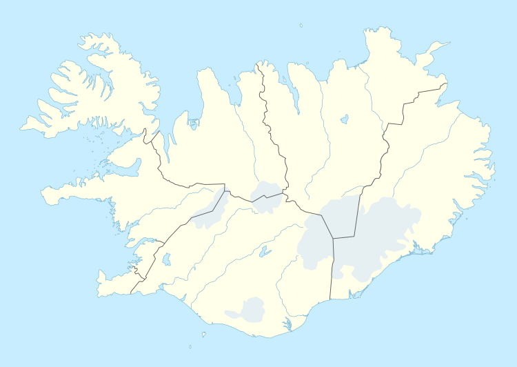 TEY Location of the airport in Iceland | |||||||||||
| Runways | |||||||||||
| |||||||||||
Þingeyri Airport (IATA: TEY, ICAO: BITE) is an airport serving Þingeyri (Thingeyri), Iceland.
It is closed for air traffic.[3]
See also
- List of airports in Iceland
- Transport in Iceland
 Iceland portal
 Aviation portal
References
- ↑ Airport information for TEY at Great Circle Mapper.
- ↑ Google Maps - Þingeyri
- ↑ Ónýtur flugvöllur á Þingeyri
External links
- OurAirports - Iceland
- Þingeyri Airport
- Google Earth
This article is issued from Wikipedia - version of the 12/5/2016. The text is available under the Creative Commons Attribution/Share Alike but additional terms may apply for the media files.