1947 Assam earthquake
 | |
| Date | July 29, 1947 |
|---|---|
| Origin time | 13:43 UTC [1] |
| Magnitude | 7.3 Mw [1] |
| Depth | 60 km |
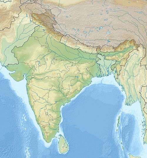
| Epicenter | 28°30′N 94°00′E / 28.50°N 94.00°E [1] |
The 1947 Assam earthquake occurred on 29 July at 13:43 UTC with a magnitude of Mw 7.3. The earthquake was located near the border between India and Tibet. Some sources put the epicenter in Indian, and some put it in Tibet.[2][3] In the Chinese literature, this earthquake was often located around the Nang County, Tibet.[4]
In Dibrugarh, Jorhat, and Tezpur, there were cracks in walls. Failure of electricity was reported in Guwahati.[3] The released seismic moment was about 1.5×10²⁰ Nm.[5] The mechanism of the earthquake is not well known.[6]
See also
References
- 1 2 3 Engdahl, E. R.; Vallaseñor, A. (2002). "Global seismicity: 1900–1999". International Handbook of Earthquake & Engineering Seismology (PDF). Part A, Volume 81A (First ed.). Academic Press. p. 679. ISBN 978-0124406520.
- ↑ Paula Dunbar. "Significant Earthquakes Database". noaa.gov.
- 1 2 "Documentation on past disasters, their impact, measures taken, vulnerable areas in Assam" (PDF).
- ↑ "青藏块体8级左右地震前中强地震活动图像的相似性演化" by 朱红彬
- ↑ "Instantaneous deformation and kinematics of the India-Australia Plate" by M. Delescluse and N. Chamot-Rooke
- ↑ Sengupta, P.; Nath, S. K.; Thingbaijam, K. K. S.; Mistri, S. (2011). "Fractal analysis of major faults in India on a regional scale" (PDF). Journal of the Geological Society of India. Geological Society of India. 78: 229. doi:10.1007/s12594-011-0086-4.
This article is issued from Wikipedia - version of the 11/1/2016. The text is available under the Creative Commons Attribution/Share Alike but additional terms may apply for the media files.