Achada Furna
| Achada Furna | |
|---|---|
 | |
| Coordinates: 14°52′23″N 24°21′32″W / 14.873°N 24.359°WCoordinates: 14°52′23″N 24°21′32″W / 14.873°N 24.359°W | |
| Country | Cape Verde |
| Island | Fogo |
| Municipality | Santa Catarina do Fogo |
| Civil parish | Santa Catarina do Fogo |
| Population (2010)[1] | |
| • Total | 495 |
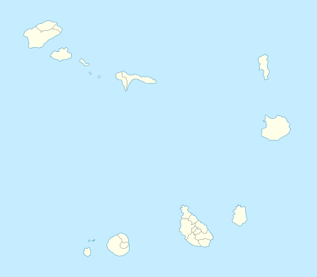
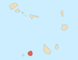
Achada Furna is a settlement in the southern part of the island of Fogo, Cape Verde. It is situated 15 km east of the island capital São Filipe. Its 2010 census population was 495. Its elevation is about 850 to 900 meters.
Its name etymology indicated that it is located on a volcanic plateau and the area affected by past lava flows.
Climate
Its climate is cooler than the low lying areas of the island but slightly warmer than the upper parts. The average temperature is 13 to 23 °C (55–73 °F), the highest is 23.7 °C in September and the lowest is 13.1 °C in February. Average rainfall is 366 millimeters, the highest is 149 mm in September and the lowest is without a single precipitation between the months of March and May.
| Climate data for Achada Fuma, 850-1050 metres ASL | |||||||||||||
|---|---|---|---|---|---|---|---|---|---|---|---|---|---|
| Month | Jan | Feb | Mar | Apr | May | Jun | Jul | Aug | Sep | Oct | Nov | Dec | Year |
| Average high °C (°F) | 19.9 (67.8) |
20.0 (68) |
20.7 (69.3) |
21.1 (70) |
21.6 (70.9) |
22.2 (72) |
22.8 (73) |
23.2 (73.8) |
23.7 (74.7) |
23.5 (74.3) |
22.7 (72.9) |
20.6 (69.1) |
21.8 (71.2) |
| Daily mean °C (°F) | 16.7 (62.1) |
16.5 (61.7) |
17.1 (62.8) |
17.4 (63.3) |
18.1 (64.6) |
18.7 (65.7) |
19.5 (67.1) |
20.2 (68.4) |
20.6 (69.1) |
20.7 (69.3) |
19.4 (66.9) |
17.8 (64) |
18.6 (65.5) |
| Average low °C (°F) | 13.5 (56.3) |
13.1 (55.6) |
13.5 (56.3) |
13.8 (56.8) |
14.7 (58.5) |
15.3 (59.5) |
16.2 (61.2) |
17.2 (63) |
17.5 (63.5) |
17.9 (64.2) |
16.2 (61.2) |
15.0 (59) |
15.3 (59.5) |
| Average rainfall mm (inches) | 3 (0.12) |
3 (0.12) |
0 (0) |
0 (0) |
0 (0) |
1 (0.04) |
22 (0.87) |
115 (4.53) |
149 (5.87) |
51 (2.01) |
14 (0.55) |
8 (0.31) |
366 (14.42) |
| Source: Climate-Data.ORG[2] | |||||||||||||
See also
References
- ↑ "2010 Census results". Instituto Nacional de Estatística Cabo Verde (in Portuguese). 17 March 2014.
- ↑ http://en.climate-data.org/location/492475/. Retrieved 5 January 2014. Missing or empty
|title=(help)
This article is issued from Wikipedia - version of the 10/26/2016. The text is available under the Creative Commons Attribution/Share Alike but additional terms may apply for the media files.
